
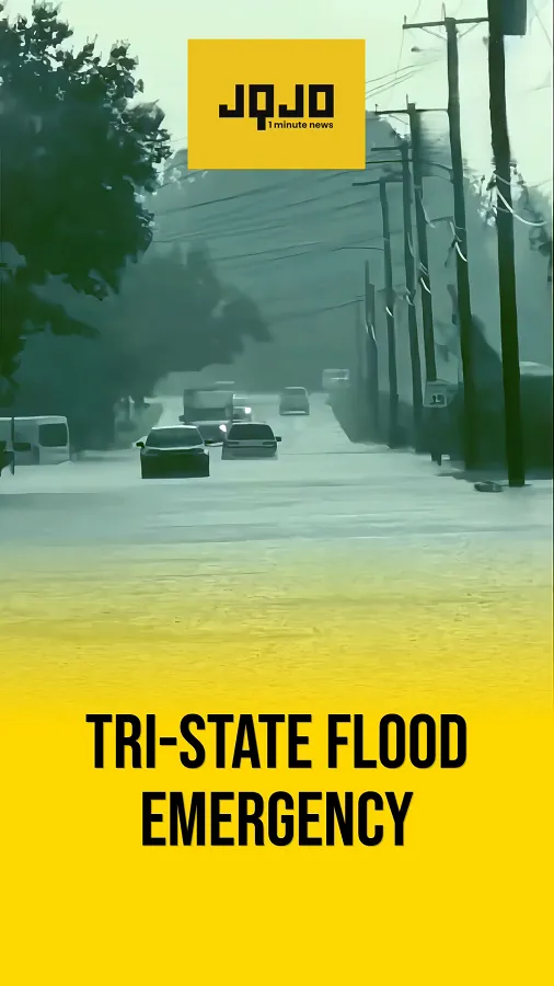
New Jersey storms trigger flash floods, transit chaos
Tap title to read story
NEW JERSEY – Northern New Jersey and parts of the wider New York metropolitan area faced severe flash flooding, structural damage, and significant transit disruptions after a fast-moving storm system struck late Monday and continued into Tuesday. Torrential downpours, damaging microburst winds, marble-sized hail, and numerous downed power lines disrupted the evening commute and kept emergency services and municipal authorities heavily engaged across multiple counties. Bergen County was among the hardest-hit areas, with roads in towns such as Teaneck, Hackensack, River Edge, and Hawthorne turning into fast-moving channels of water. Vehicles were stranded in deep standing water, traffic was brought to a standstill on major routes including Route 4 and Route 208, and specialized units such as the River Edge Swift Water Rescue Team were deployed to pull nearly a dozen trapped motorists from flooded roadways.
NEW YORK – The National Weather Service expanded emergency advisories following the initial wave of storms, placing much of the Tri-State Area, including New York City, under a Flood Watch from 8 a.m. Tuesday through 8 p.m. Wednesday and designating both days as First Alert Weather Days due to the heightened flash flood risk. Forecasters warned that highly saturated and unstable atmospheric conditions could produce rainfall rates of one to three inches per hour, with total accumulations of two to five inches and locally higher amounts where thunderstorms repeatedly pass over the same communities. Authorities also issued alerts for dangerous rip currents along beaches south of New York City and on Long Island, while local utilities and public works crews worked to restore power, clear downed lines, remove debris, and prepare drainage systems for additional rounds of scattered downpours and thunderstorms expected through midweek.
More context
Timeline
- Late Monday storms sweep New Jersey
- Late Monday evening rain intensifies rapidly
- Late Monday evening commuters trapped driving home
- Late Monday Route 4 Teaneck flooding worsens
- Late Monday Hackensack Temple Avenue inundated
- Late Monday vehicles stranded in deep water
- Late Monday River Edge emergency units deployed
- Tuesday wider New York metro disruptions continue
Why it matters
This storm impacts your SAFETY and TIME. If you're in the Tri-State Area, expect major traffic delays and potential road hazards. Check your local weather and traffic updates before heading out. Remember, don't attempt to drive through flooded roads.
JQJO Editorial Desk · Human reviewed · AI assisted. Report a correction.