ENVIRONMENT
卡罗莱纳州和密西西比州本周预计将迎来降雨
▪
Read, Watch or Listen
Media Bias Meter
Sources: 11
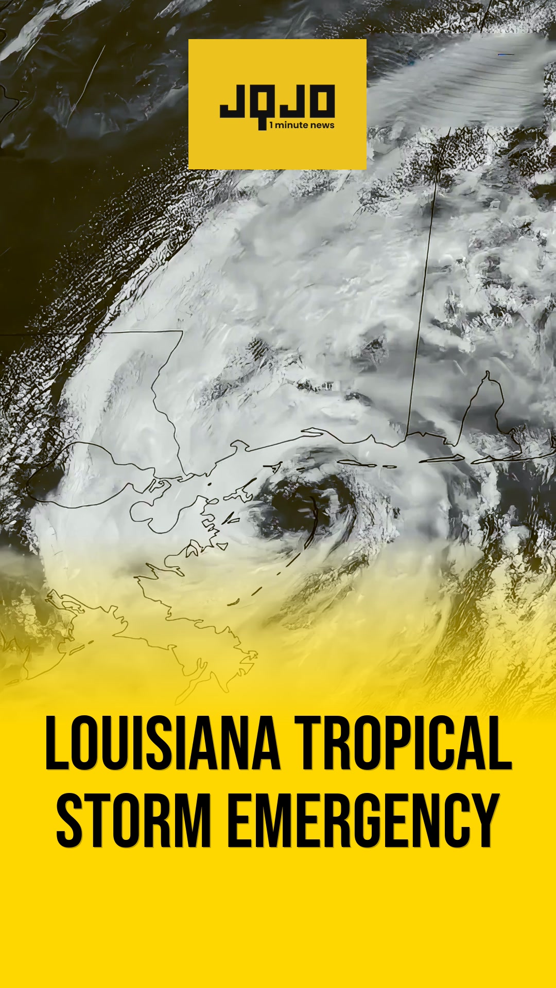
北卡罗来纳州夏洛特 — 地区气象学家发布了预测,预计从周三开始,卡罗莱纳州和密西西比州部分地区将有雨。早高峰时段会有小到中雨,下午可能出现分散性雷暴。机构引用了即将到来的冷锋和低压;最初的降雨应该在周四减弱,随后在本周晚些时候将有新的、更大的降雨。夏洛特地区和沿海官员警告通勤者,周三高峰出行时段路况湿滑,并建议关注当地洪水的预报。WIS 和 WCBI 分别宣布周三和周六为“首要警报天气日”,模型指导显示一些地区到周六可能会收到超过一英寸的降雨;预报员表示,预计周日会干燥,恢复更干燥的条件。
Prepared by Olivia Bennett and reviewed by editorial team.
Timeline of Events
- 冷锋逼近东南部,周三前发布预警和提醒。
- 周三上午通勤时段普降阵雨;午后可能转晴,但有局地性雷暴。
- 周四及周五部分地区将迎来更凉爽、更干燥的天气。
- 周五至周六,一个更强的低压系统将带来更大、更广的降雨;部分地区雨量可能超过一英寸。
- 周六夜间雨势减弱,周日气温将继续下降,天气趋于干燥。
Why This Matters to You
这场持续多日的降雨可能会打乱您的日常生活,尤其是早晨的通勤。它还可能导致局部地区发生洪水。请密切关注天气预报,并据此规划您的出行。如果您居住在容易发生洪水的地区,请确保您的房屋已做好准备。
The Bottom Line
安全第一。潮湿的路面和潜在的洪水是严重的危险。请及时了解当地的天气警报,并根据需要调整您的计划。请记住,迟到总比不到好。如果您知道本周有人要上路,请转发此信息。
Media Bias
- Articles Published:
- 11
- Right Leaning:
- 0
- Left Leaning:
- 0
- Neutral:
- 11
- Distribution:
- Left 0%, Center 100%, Right 0%
Who Benefited
受影响的东南地区,农业生产者、草坪、水库和抗旱工作,都受益于新降雨,缓解了短期干旱状况。
Who Impacted
本周,通勤者、户外活动组织者以及排水不良地区的居民在本周的降雨高峰期经历了出行受阻、局部内涝风险和生活不便。
Coverage of Story:
From Left
No left-leaning sources found for this story.
From Center
卡罗莱纳州和密西西比州本周预计将迎来降雨
https://www.wbtv.com WMBF News https://www.wistv.com WCBI TV | Your News Leader WKMG https://www.wrdw.com WMBF News https://www.wistv.com WAFB News 4 Jax https://www.kcbd.comFrom Right
No right-leaning sources found for this story.


Comments