印第安纳州中部预计将有雷暴,部分地区可能出现强风和冰雹
Read, Watch or Listen
印第安纳波利斯 — 预计印第安纳州中部及周边地区将从 2026 年 4 月 27 日星期一开始遭遇多轮雷暴,预报员警告称,一些风暴可能变得严重。当地电视台报道称,最初的一批雷暴可能在上午晚些时候或下午早些时候到来,随后在当天晚些时候和晚上有增强发展的可能。 本周在中西部和上南部地区,风暴预测中心确定了二级和一级风险区域,ABC7 指出芝加哥的窗口期是上午 9 点至中午和下午 4 点至晚上 11 点,WVLT 强调周二凌晨 2 点至上午 10 点存在轻微风险,而当地媒体则建议为破坏性大风、冰雹和孤立龙卷风做好准备,因为风暴会在夜间向东移动。
Prepared by Olivia Bennett and reviewed by editorial team.
Timeline of Events
- 周末:东田纳西州降雨缓解了部分干旱,弥补了严重的亏空。
- 周一上午至下午:印第安纳州和伊利诺伊州等中西部地区将出现阵雨和零星雷暴。
- 周一晚上至通宵:更具组织的强雷暴或严峻雷暴将向东移动,进入肯塔基州和中部地区。
- 周二凌晨:东田纳西州部分地区预计凌晨2点至上午10点之间将出现SPC边缘风险区域,并可能出现严峻雷暴。
- 周三:将有额外的零星降雨和更低的气温,结束活跃的天气。
Why This Matters to You
这些风暴可能会扰乱您的日常生活。它们可能导致停电、交通延误和学校停课。如果您身处风险区域,请为可能发生的恶劣天气做好准备。检查您的应急物资,并确保您的设备已充电。
The Bottom Line
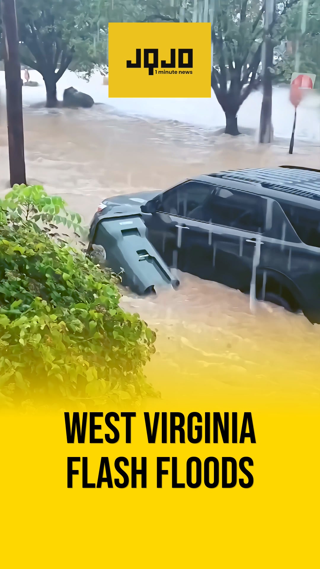
我们正面临严峻的天气,可能伴有破坏性大风、冰雹和局部龙卷风。请保持警惕,关注当地天气预报,并采取预防措施。转发给受影响地区的亲友,让他们也能做好准备,这是值得的。
- Articles Published:
- 6
- Right Leaning:
- 0
- Left Leaning:
- 0
- Neutral:
- 6
- Distribution:
- Left 0%, Center 100%, Right 0%
本周末的降雨为东田纳西州的部分干旱带来了缓解,这对于今年以来缺水量超过5英寸的农民和水资源管理者来说是一项福音。
预计受影响地区的居民将面临强风、冰雹、可能出现的龙卷风以及出行受阻的风险,因为多轮风暴将从周一晚间持续到周二。
Coverage of Story:
From Left
No left-leaning sources found for this story.
From Center
印第安纳州中部预计将有雷暴,部分地区可能出现强风和冰雹
WISH-TV | Indianapolis News | Indiana Weather | Indiana Traffic ABC7 Chicago https://www.wvlt.tv https://www.wkyt.com WSMV Nashville WBIWFrom Right
No right-leaning sources found for this story.


Comments