Warm weekend gives way to midweek storm chances
Read, Watch or Listen
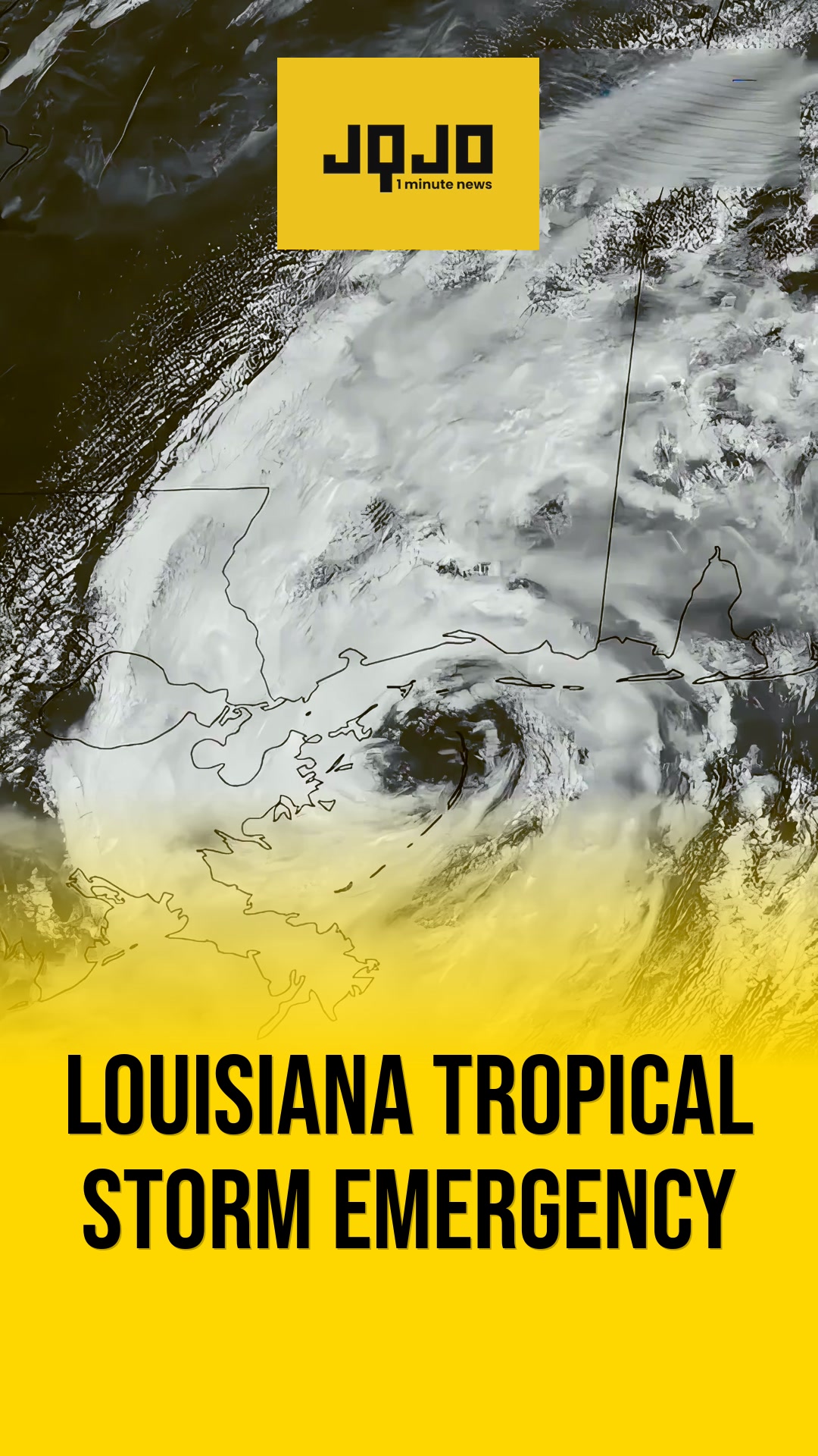
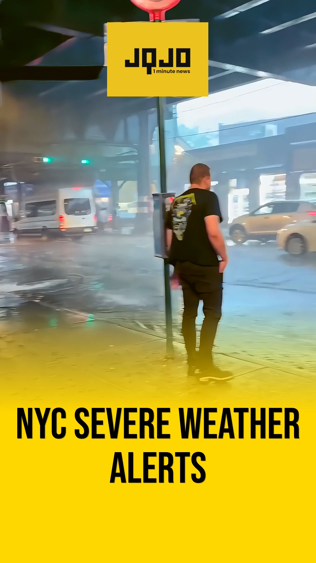
United States meteorologists in Lexington, Mobile, Chicago and Knoxville forecast scattered showers and thunderstorms beginning this evening and continuing into the midweek, with summer-like temperatures expected Sunday through Tuesday. Stations reported highs in the upper 80s to around 90 and rising humidity that will make conditions feel more summer-like during the daytime. Forecasters warned that some storms could become strong to severe, citing threats of damaging winds, large hail and a low tornado risk in isolated cells; heat index values may reach the lower 90s in some inland areas. A cold front approaching Wednesday is expected to bring more widespread rain and thunderstorms, and authorities advised residents to monitor local forecasts and advisories in the coming days.
Prepared by Olivia Bennett and reviewed by editorial team.
Timeline of Events
- Weekend: Warm, sunny conditions with highs in the mid-to-upper 80s.
- Overnight into Sunday: Scattered showers and isolated thunderstorms possible.
- Sunday–Tuesday: Continued summer-like temperatures with increasing humidity and heat indices.
- Monday–Tuesday: Additional rounds of showers and thunderstorms possible, some storms could be severe.
- Wednesday: Approaching cold front brings widespread rain and higher thunderstorm chances.
Why This Matters to You
Your safety and comfort are at stake. Severe storms can bring damaging winds and hail. High heat and humidity can make outdoor activities tough. Keep an eye on local forecasts. Adjust your plans if needed.
The Bottom Line
Summer-like heat is here, but so are storm chances. Enjoy the warm weekend, but prepare for possible midweek storms. Stay safe and informed. Worth forwarding if you know someone who has outdoor plans this week.
- Articles Published:
- 7
- Right Leaning:
- 0
- Left Leaning:
- 0
- Neutral:
- 7
- Distribution:
- Left 0%, Center 100%, Right 0%
Emergency services, local authorities, and residents with timely access to forecasts benefited by receiving advance notice to prepare for heat and potential severe storms.
Residents without reliable cooling, outdoor workers, and communities directly in storm tracks suffered increased heat exposure and heightened risk of storm-related damage or outages.
Coverage of Story:
From Left
No left-leaning sources found for this story.
From Center
Warm weekend gives way to midweek storm chances
https://www.wkyt.com FOX10 News FOX 32 Chicago https://www.wvlt.tv FOX Carolina https://www.wect.com https://www.cleveland19.comFrom Right
No right-leaning sources found for this story.





Comments