National Weather Service Monitors Low-Pressure System in Southwestern Gulf of Mexico
Tap title to read story
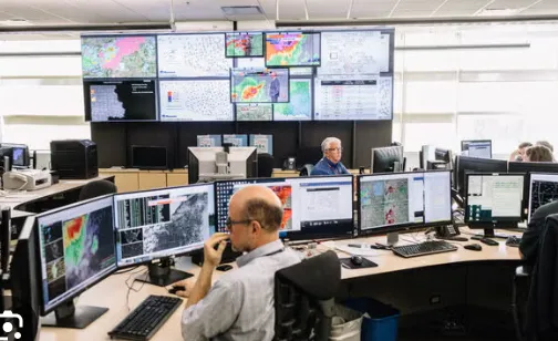
The National Weather Service and the National Hurricane Center are closely tracking a broad area of low pressure located over the southwestern Gulf of Mexico. Environmental conditions are being evaluated for potential tropical or subtropical development as the system drifts slowly northward or northwestward. Coastal communities along the Gulf Coast, marine operators, and emergency management agencies are advised to monitor official forecasts closely for any updates, heavy rainfall alerts, or gale warnings as the disturbance organizes.
More context
Timeline
- On September 28, 2026, meteorologists first identified disorganized shower activity in the southwestern Gulf of Mexico.
- On September 30, 2026, atmospheric pressure began showing signs of lowering across the region.
- On October 1, 2026, the National Weather Service issued initial outlooks regarding the developing low-pressure disturbance.
- On October 2, 2026, satellite imagery indicated increasing organization of thunderstorms associated with the trough.
- On October 3, 2026, marine advisories were updated to reflect strengthening winds and localized choppy seas.
- On October 4, 2026, forecasters intensified tracking efforts to determine potential development pathways toward the Gulf Coast.
Why it matters
Immediate US impact: Coastal residents and maritime operators along the Gulf Coast receive early alerts regarding potential heavy rain and squalls. Possible long-term US impact: Enhances regional preparedness models and improves early response infrastructure for tropical weather disturbances. Most affected groups: Gulf Coast residents, commercial shipping operators, local emergency management personnel, and fishermen. Reader Prioritization: Prioritize official National Weather Service bulletins, NHC tropical outlooks, and local emergency management advisories.
Coverage notes
Left: Focuses on climate patterns, community preparedness, and potential environmental impacts along coastal regions. Center: Emphasizes meteorological data, official National Weather Service advisories, and tracking updates. Right: Highlights economic precautions, maritime safety measures, and infrastructure readiness.
Primary report
National Weather Service monitors low-pressure system in southwestern Gulf of Mexico.
Sources
- CNN
- Associated Press
- Reuters
- National Oceanic and Atmospheric Administration
- National Weather Service
- National Hurricane Center
- The Weather Channel
- AccuWeather
- NBC News
- ABC News
- CBS News
- USA Today
- New York Times
- Washington Post
- Los Angeles Times
- Bloomberg
- Wall Street Journal
- Newsweek
- Time
- Axios
- Politico
- NPR
- The Hill
- Weather Underground
- Forbes
- Scientific American
- National Geographic
- Fox News
- National Weather Service
JQJO Editorial Desk · Human reviewed · AI assisted. Report a correction.