USGS Warns Mount Rainier Lahar Threat Endangers 90,000 People
Tap title to read story
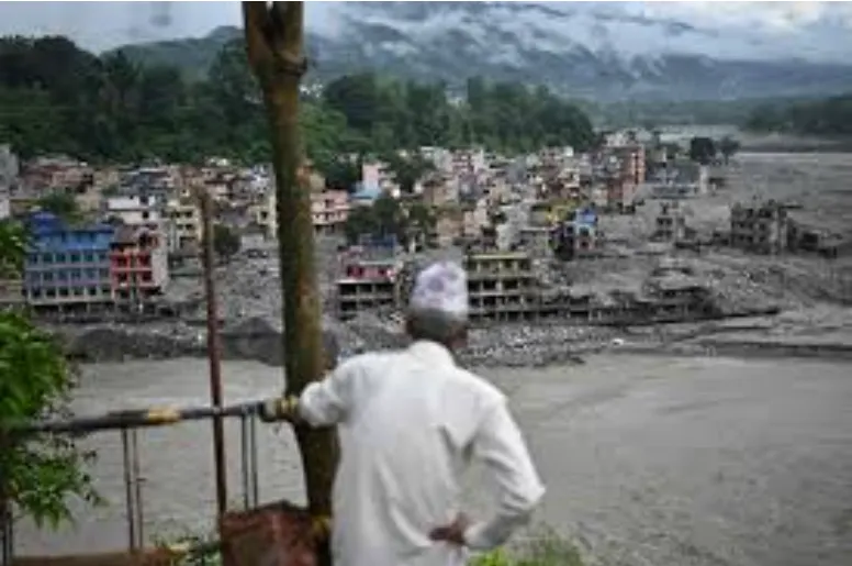
The United States Geological Survey issued an urgent warning stating destructive mountain torrents and volcanic mudflows pose extreme hazards to Washington state. USGS geologist Holly Weiss-Racine explained that fast-moving mixtures of water, volcanic rock, and debris represent the most dangerous volcanic threat across the Cascade Range. Over ninety thousand residents currently live inside designated hazard zones surrounding Mount Rainier, while potential cascading impacts could affect millions across the broader Puget Sound metropolitan area. This warning follows a catastrophic flash flood disaster in northern Nepal caused by glacial retreat, prompting heightened global scrutiny of unstable terrain and glacial melt. Standing at fourteen thousand four hundred eleven feet, Mount Rainier features an extensive mantle of glacial ice and has generated at least eleven large historical mudflows reaching lowlands. Federal emergency planners continue evaluating evacuation infrastructure across vulnerable river valleys to protect downstream communities from sudden natural disasters occurring without warning signals today.
More context
Timeline
- On June 5, 2026, USGS reported normal volcanic activity levels.
- On August 5, 2026, USGS released new pedestrian evacuation maps.
- On August 26, 2026, glacial flash floods struck northern Nepal.
- On September 10, 2026, USGS warned about Mount Rainier risks.
- On September 10, 2026, officials confirmed ninety thousand residents threatened.
- On September 10, 2026, experts noted eleven historical lahar events.
- On September 10, 2026, planners reviewed Washington state evacuation routes.
- On September 10, 2026, researchers emphasized sudden mudflow collapse threats.
- On September 10, 2026, authorities urged communities reaching high ground.
- On September 10, 2026, scientists stressed continuous glacial melting monitoring.
- In coming months, emergency management agencies will conduct public drills.
- In coming years, federal researchers expect upgraded sensor network deployments.
Why it matters
Immediate US impact: Immediate US impact involves heightened alert for Pacific Northwest planners. Possible long-term US impact: Long-term US impact requires upgraded infrastructure around vulnerable river valleys. Most affected groups: Most affected groups include residents, schools, and workers in Pierce. Priorities For Readers: Readers should prioritize updates from USGS and local emergency management.
Coverage notes
Left: Left framing emphasizes climate change drivers and community safety funding. Center: Center framing focuses strictly on official USGS warnings and data. Right: Right framing highlights local economic preparedness and government resource allocation.
Primary report
USGS warns Mount Rainier faces Nepal-style disaster risk from lahars on September 10, 2026.
Sources
- The Seattle Times
- Tempo
- Newswav
- USGS Science
- USGS Publications
- NPS History Archives
- USGS FAQs
- USGS Volcanoes
- Wikipedia
- USGS Media
- USGS Mount Rainier Overview
- National Park Service Safety
- Pierce County Emergency Management
- Pacific Northwest Seismic Network
- Cascades Volcano Observatory
- FEMA Risk Management
- Smithsonian Global Volcanism Program
- Washington Department of Natural Resources
- US Forest Service
- Gifford Pinchot National Forest
- National Oceanic and Atmospheric Administration
- American Geophysical Union
- Fox News
JQJO Editorial Desk · Human reviewed · AI assisted. Report a correction.