United States braces for multi-day Plains, Midwest storms
PUBLISHED Jun 21, 2026, 6:17 AM ET
Read, Watch or Listen

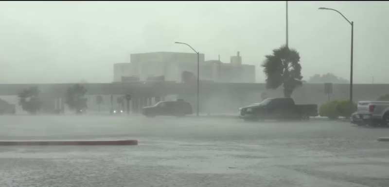
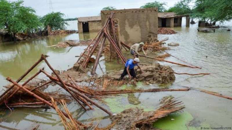
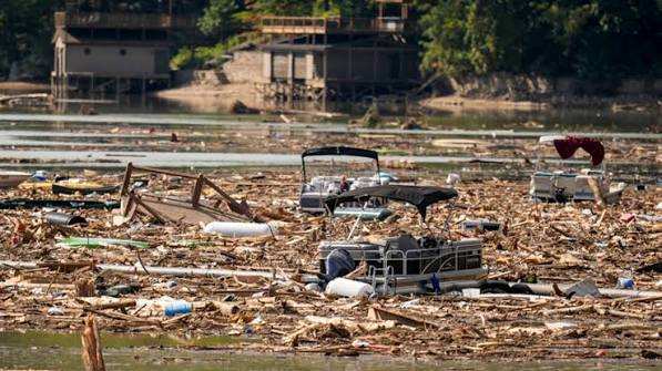
A sprawling, multi-day severe weather system is affecting the central and eastern United States as of June 21, 2026, prompting widespread flood and thunderstorm alerts. The National Weather Service and Storm Prediction Center have issued flood watches and warnings across parts of Nebraska, Kansas, Missouri, and nearby states, warning that some areas could receive up to 6 inches of rain. The system, which organized on June 20, is drawing moisture from the Gulf of Mexico, creating a highly unstable atmosphere. Severe thunderstorms with very large hail, 70 mph wind gusts, and possible tornadoes are expected as the storms track east through June 23.
By Michael Grant | JQJO News
Timeline of Events
- June 20, 2026 Storm system begins organizing Saturday
- June 20, 2026 Gulf moisture feeds unstable air
- June 21, 2026 Flood watches and warnings issued
- June 21, 2026 Moderate Risk excessive rainfall declared
- June 21, 2026 Enhanced Risk covers High Plains region
- June 21, 2026 Authorities urge residents stay weather-aware
- June 22, 2026 Storms expand toward Ohio Valley
- June 23, 2026 System forecast to reach Northeast
News Intelligence
- This storm system impacts your safety. Severe weather can lead to power outages, road closures, and property damage. If you're in the affected regions, stay alert. Check your local weather updates and emergency plans.



Comments