United States braces for Midwest, Great Lakes tornado outbreak
PUBLISHED Jun 11, 2026, 7:09 AM ET
Read, Watch or Listen

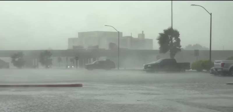
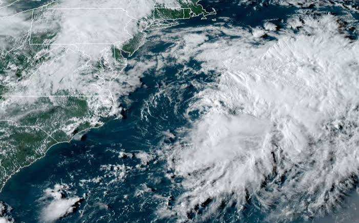
A dangerous severe weather pattern is unfolding across the U.S. Midwest and Great Lakes, with an enhanced risk of tornadoes, large hail, and damaging winds forecast through Thursday night, June 11, 2026. The National Weather Service has issued alerts for a broad corridor from southern and eastern Iowa and northeastern Missouri through northern and central Illinois, southern Wisconsin, northern Indiana, and central and southern Lower Michigan. Meteorologists cite a potent mid-level trough and unusually strong winds aloft driving storm intensification and a likely Mesoscale Convective System. Officials urge residents to monitor warnings, secure shelter plans, and prepare for hazardous travel and localized flooding.
By Daniel Hayes | JQJO News
Timeline of Events
- Early June 2026: Potent mid-level trough develops
- June 10, 2026: Strong upper-level winds strengthen
- June 11, 2026: Enhanced severe weather risk issued
- June 11, 2026: Mesoscale Convective System forecast
- June 11, 2026: Supercell development risk communicated
- June 11, 2026: Officials urge multiple alert methods
- Thursday evening, June 11, 2026: Storms track eastward
- Thursday night, June 11, 2026: Hazardous travel, flooding possible
News Intelligence
- Severe weather can disrupt your daily routine. It can cause power outages, cancel flights, and make driving hazardous. It's crucial to stay updated on the situation, especially if you live in the affected areas. Check your emergency kit and review your family's safety plan.




Comments