Strong storms possible tonight; heat returns midweek ahead
Tap title to read story
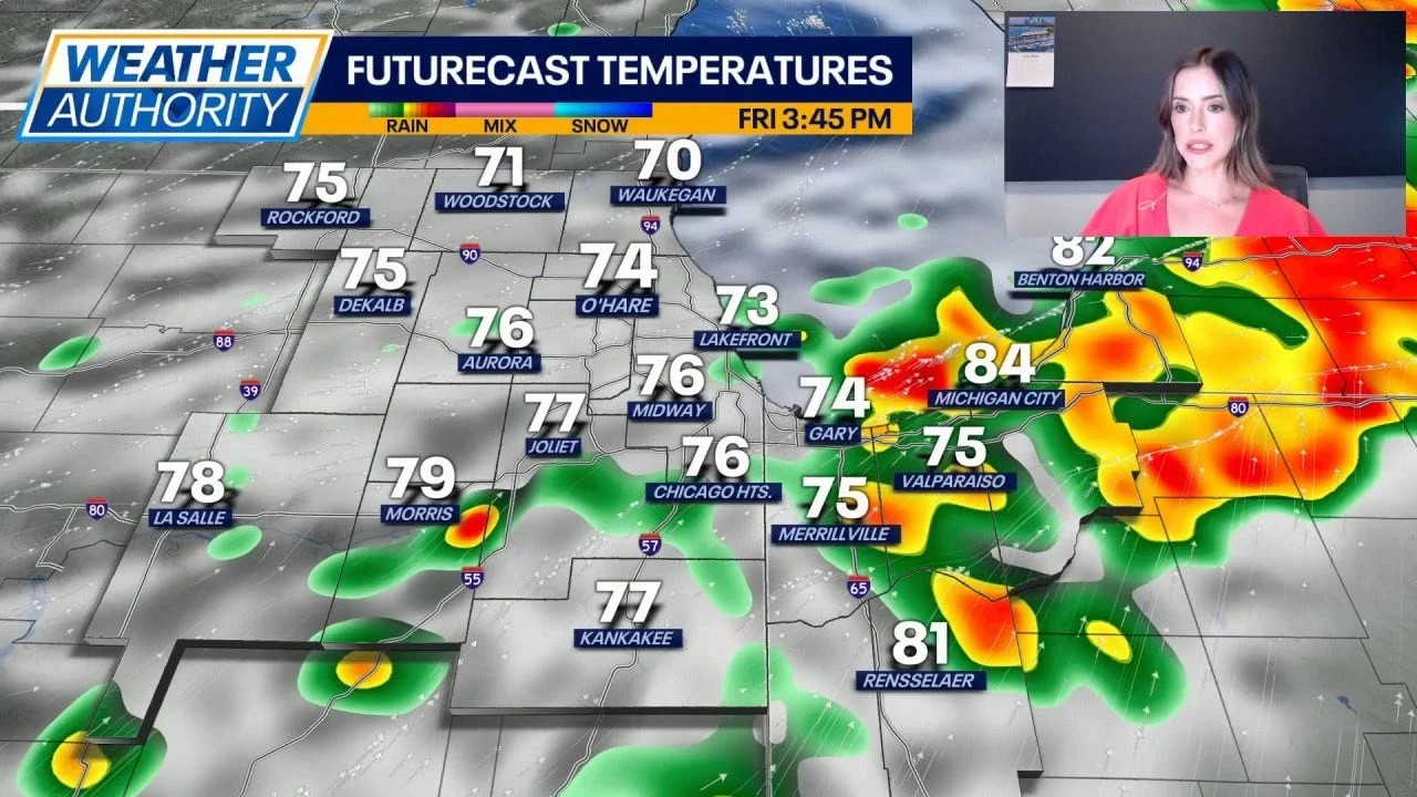
CHICAGO: Meteorologists forecast scattered to potentially strong thunderstorms across Chicagoland tonight and into the weekend, citing slight to marginal severe risk in western and southwestern counties and parts of northwest Indiana. Forecasters reported highs near 80 today and noted increased humidity with dew points in the upper 60s creating muggy conditions for much of northern Illinois.
The outlook for this weekend includes isolated gusts, heavy downpours, and brief hail in the strongest cells, particularly south of Interstate 88 and along the Illinois River; Saturday and Sunday carry scattered storm chances while much of the area remains dry. Officials and residents were advised to monitor updates as temperatures climb into the mid- to upper-80s and approach near-90s by midweek, with a cold front expected later in the week.
More context
Timeline
- 1. Warm, humid air mass established across northern Illinois with rising dew points.
- 2. Late afternoon into tonight: scattered to slow-moving thunderstorms develop in south and west areas.
- 3. Saturday: additional scattered showers and thunderstorms focused south of I-88 and along the Illinois River.
- 4. Early to midweek: temperatures climb into the mid- to upper-80s, reaching near-90s by Wednesday/Thursday.
- 5. Late week: an approaching cold front could increase severe-storm potential and shift the pattern.
Why it matters
The forecasted storms could disrupt your weekend plans. If you're in the western and southwestern counties or northwest Indiana, stay alert. Check your local weather updates regularly. Secure any outdoor items that could be affected by strong winds or hail.
Sources
JQJO Editorial Desk · Human reviewed · AI assisted. Report a correction.