Flood Watches Issued Across Regions Ahead Of Storms
Tap title to read story
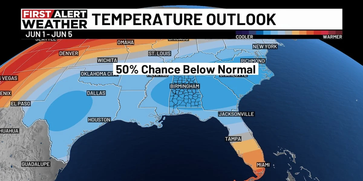
United States: Local meteorologists issued Flood Watches and storm forecasts across multiple regions this week as scattered thunderstorms and heavy rain were expected Wednesday through the weekend. WBRC in Birmingham, WWSB in Sarasota, WKEF in Dayton, WSAW in Wausau and WAFB in Baton Rouge provided timing, rainfall expectations, and temperature forecasts for residents.
Wednesday saw active watches and advisories, including a Flood Watch expiring at 10 p.m. in central Alabama and an in-effect watch through early Thursday in the Miami Valley; Baton Rouge issued a 7 a.m. to 7 p.m. Flood Watch. Forecasters warned of localized flash flooding, gusty winds and lightning, while models indicate a gradual drier trend by late week.
More context
Timeline
- 1. Recent rainfall saturated soils in multiple regions, elevating runoff risk.
- 2. Tuesday: Wausau hit 90°F; WBRC cancelled a First Alert Weather Day as rain dissipated and a Flood Watch was set to expire at 10 p.m.
- 3. Wednesday: Flood Watches in effect (examples: WKEF until 2 a.m. Thursday; WAFB 7 a.m.–7 p.m.) with scattered storms and localized heavy rain possible.
- 4. Late Wednesday: Cold front passage will begin to clear some areas, reducing storm coverage after sunset.
- 5. Late week/weekend: Forecasts indicate gradual drying and lower rain chances across the affected regions.
Why it matters
Flood Watches mean potential danger. Heavy rain can lead to flash flooding, disrupting your daily routine or even posing a safety risk. Keep an eye on local forecasts, especially if you live in a flood-prone area.
Sources
JQJO Editorial Desk · Human reviewed · AI assisted. Report a correction.