Memorial Day weekend brings heat, storms, and rip-current risks
Tap title to read story
South Florida experienced a warm, mostly sunny start Saturday, with forecasts calling for daily scattered afternoon and evening thunderstorms through Memorial Day and into next week; inland highs are expected in the low-to-mid 90s and heat indices to reach the upper 90s to triple digits, while rip-current warnings persist along Atlantic beaches.
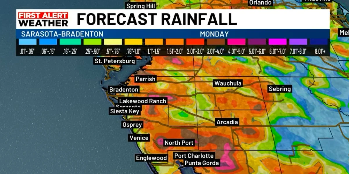
Meteorologists reported Sunday that storm coverage will be greatest inland where sea-breeze collisions occur, with isolated stronger storms producing gusty winds, frequent lightning and brief heavy downpours; totals generally under an inch and flooding risk low, but severe-to-extreme drought conditions remain across parts of west-central and southwest Florida, and a wetter, more unsettled pattern may develop later next week.
More context
Timeline
- 1. Saturday morning: calm and mostly sunny across the Suncoast.
- 2. Sunday: scattered to numerous afternoon and evening thunderstorms develop, mainly inland.
- 3. Monday (Memorial Day): hot and humid with scattered afternoon storms after 2 PM.
- 4. Tuesday–Wednesday: wind shift to west/southwest pushes greatest storm coverage farther inland.
- 5. Wednesday–Thursday: deeper Gulf moisture increases, bringing more widespread showers and thunderstorms.
Why it matters
Your Memorial Day weekend plans could be affected by this weather. If you're in South Florida, expect hot, humid conditions and afternoon thunderstorms. Beachgoers, be aware of rip-current warnings on Atlantic beaches.
Sources
JQJO Editorial Desk · Human reviewed · AI assisted. Report a correction.