Heat to storms: cold front shifts regional weather pattern
Tap title to read story
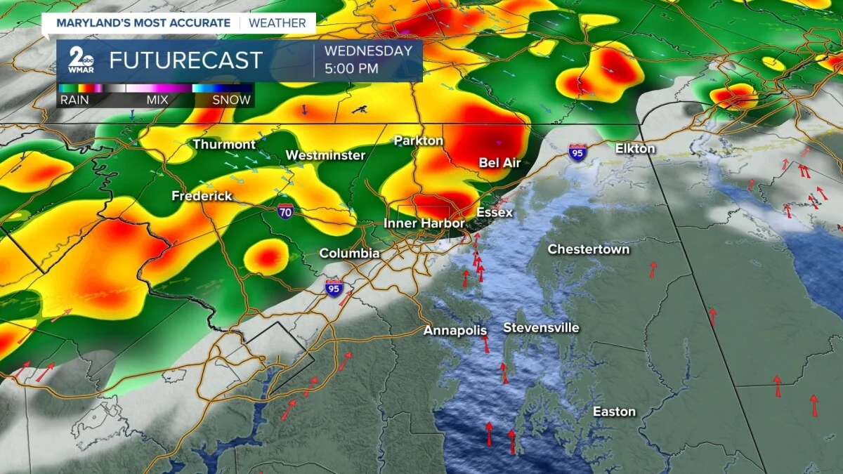
Baltimore on Wednesday experienced near-record warmth with highs reaching the mid-90s before a strong cold front moved through the area, producing an increased risk of showers and thunderstorms and prompting forecasts of a sharp temperature drop into the 60s by Thursday and sustained daily rain chances into the holiday weekend.
Mobile, Ala., reported hot, humid conditions this week with upper-80s highs and heat index values in the mid-90s, while Sarasota saw lower-90s inland highs and possible gusts to 50 mph; forecasters state rain chances rise Friday through Memorial Day, and residents and officials are advised to monitor updates for timing and hazards.
More context
Timeline
- 1. Midweek: Regions experience elevated temperatures (upper 80s to mid-90s).
- 2. Wednesday–Thursday: A cold front moves through, increasing storm potential.
- 3. Thursday: Mid-Atlantic temperatures fall into the 60s with onshore winds.
- 4. Friday–Memorial Day: Rain and thunderstorm chances increase across affected areas.
- 5. Post-Memorial Day: Temperatures trend warmer and drier as high pressure returns.
Why it matters
This sudden weather shift can affect your Memorial Day plans. High winds and rain could lead to power outages or disrupt outdoor activities. Check your local forecast and plan accordingly.
Sources
JQJO Editorial Desk · Human reviewed · AI assisted. Report a correction.