Minnesota wildfire forces evacuations as acreage surges
PUBLISHED May 17, 2026, 4:32 AM ET
Read, Watch or Listen
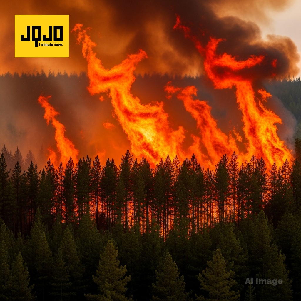
CROW WING COUNTY, Minnesota – A fast-growing wildfire known as the Flanders Fire has burned an estimated 1,500 to 2,500 acres in northern Crow Wing County, forcing urgent evacuations and road closures and drawing a large multi-agency response. The blaze was first reported to dispatchers at about 12:40 p.m. on Saturday, May 16, 2026, in the 16800 block of County Road 11 in Mission Township, near Crosby, roughly four miles southeast of Crosslake and six miles east of Breezy Point. Initial estimates placed the fire at about 100 acres on Saturday afternoon, but strong winds, low humidity and very dry vegetation caused it to expand rapidly to 600 acres within hours. By Saturday evening, officials said the fire had grown to about 1,135 acres, and by Sunday afternoon they estimated that it had spread to between 1,500 and 2,500 acres, with containment reported at 0%. Authorities issued mandatory evacuation orders on Saturday evening for residents east of East Horseshoe Lake Road and south of County Road 11, as well as selected properties along Adney Lake Road, with sheriff’s deputies going door-to-door and using digital alerts to tell people to leave immediately. The Crosslake Community Center in Crosslake was converted into an overnight emergency shelter and staffed by Crow Wing County Community Services, Crow Wing County Public Health and the American Red Cross to provide cots and three daily meals for evacuees. More than 30 emergency vehicles and several aircraft were deployed, with an incident command team taking over management of the response and using aerial water and retardant drops to slow the fire. County Road 11 was closed from Crosslake to State Highway 6 to keep civilians out of the hazard zone and maintain access for fire crews. Sheriff Eric Klang told residents that early assessments showed no primary homes had burned, though some uninhabited outbuildings and secondary structures inside the fire perimeter were believed destroyed, and evacuees were told they could not return until safety inspections were complete.
By Ayesha A. | JQJO News
Timeline of Events
- Saturday, May 16, 2026 Fire first reported near County Road 11
- Saturday afternoon, May 16 Fire grows from 100 acres
- Saturday afternoon, May 16 Blaze expands rapidly to 600 acres
- Saturday evening, May 16 Area reaches approximately 1,135 acres
- Sunday, May 17, 2026 Burned area estimated 1,500–2,500 acres
- Sunday afternoon, May 17 Containment confirmed at zero percent
- This weekend Red Flag Warning covers central Minnesota
- This weekend Multi-agency teams coordinate wildfire response
News Intelligence
- This wildfire affects your safety and community. If you're in the area, follow evacuation orders promptly. Even if you're not nearby, it's a reminder to review your own wildfire preparedness plan.






Comments