توقعات بأمطار عبر كارولينا ومسيسيبي بدءًا من الأربعاء مع احتمال حدوث عواصف رعدية
Read, Watch or Listen
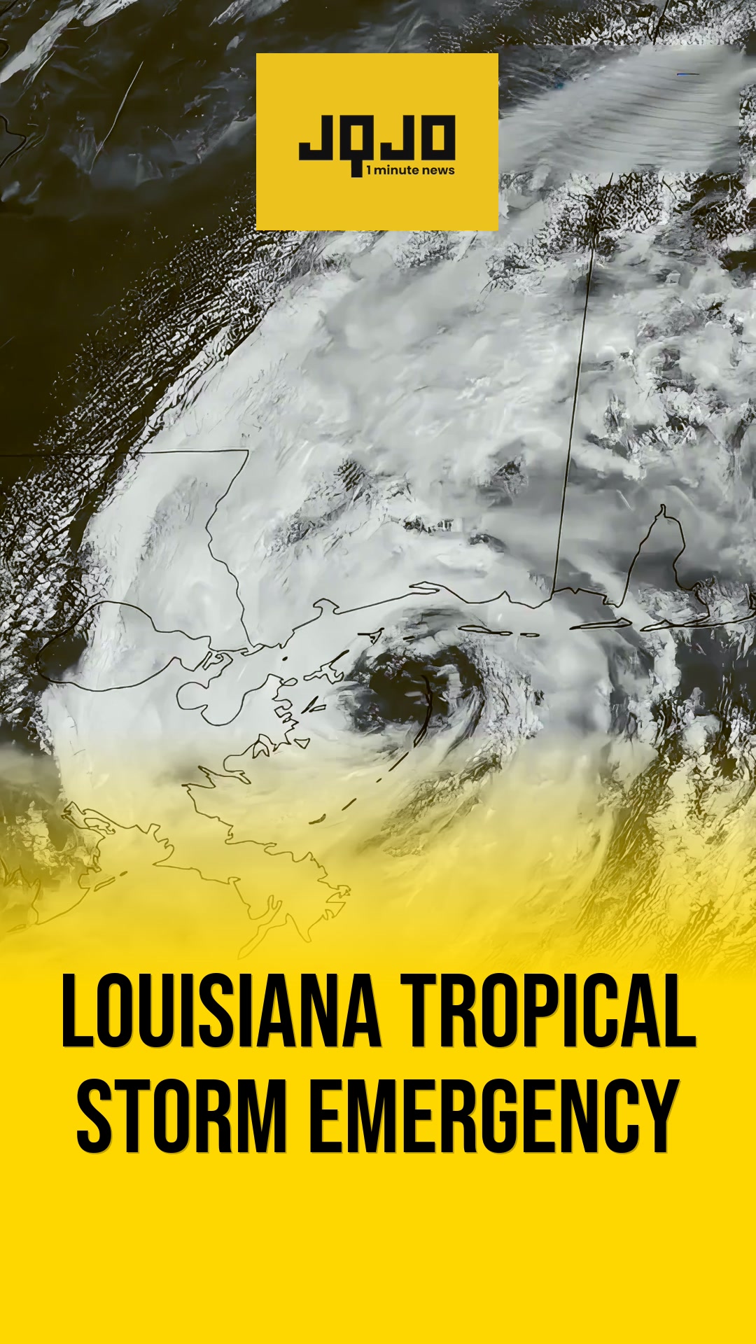
شارلوت، نورث كارولينا - أصدر خبراء الأرصاد الجوية الإقليميون توقعات تتنبأ بهطول أمطار عبر ولايتي كارولينا وأجزاء من مسيسيبي بدءًا من يوم الأربعاء، مع زخات خفيفة إلى معتدلة خلال حركة المرور الصباحية وعواصف رعدية متفرقة محتملة في فترة ما بعد الظهر. واستشهدت الوكالات بجهة أمامية باردة قادمة وضغط منخفض؛ ومن المتوقع أن تخف الدفعة الأولية يوم الخميس، تليها أمطار متجددة وأكثر غزارة في وقت لاحق من الأسبوع. حذر مسؤولو منطقة شارلوت والمسؤولون الساحليون المسافرين من الطرق الزلقة خلال فترات الذروة في السفر يوم الأربعاء ونصحوا بمراقبة التوقعات للفيضانات المحلية. وأعلنت محطات WIS وWCBI أيام الطقس الأولى ليومي الأربعاء والسبت على التوالي، وتشير توجيهات النماذج إلى أن بعض المواقع قد تتلقى أكثر من بوصة بحلول يوم السبت؛ وقال خبراء الأرصاد إن التجفيف متوقع بحلول يوم الأحد، مما يعيد الظروف الأكثر جفافاً.
Prepared by Olivia Bennett and reviewed by editorial team.
Timeline of Events
- يقترب جبهة باردة من الجنوب الشرقي، مما يؤدي إلى توقعات وتنبيهات قبل يوم الأربعاء.
- صباح الأربعاء يشهد زخات مطر واسعة الانتشار أثناء التنقل؛ احتمال صفاء الجو بعد الظهر مع عواصف مشروطة.
- الخميس وأجزاء من يوم الجمعة توفر فترات أبرد وأكثر جفافاً في بعض المناطق.
- نظام ضغط جوي منخفض أقوى يجلب أمطارًا أثقل وأكثر انتشارًا الجمعة-السبت؛ قد تتجاوز بعض المناطق بوصة واحدة.
- تتلاشى الأمطار ليلة السبت ويستمر الجفاف حتى يوم الأحد مع درجات حرارة أبرد.
Why This Matters to You
قد يعطل هذا المطر الذي يستمر لعدة أيام روتينك اليومي، وخاصة التنقلات الصباحية. كما قد يتسبب في فيضانات موضعية. راقب توقعات الطقس وخطط لسفرك وفقًا لذلك. إذا كنت تعيش في منطقة معرضة للفيضانات، فتأكد من أن منزلك مستعد.
The Bottom Line
السلامة أولاً. الطرق المبللة والفيضانات المحتملة تشكل مخاطر جسيمة. ابق على اطلاع دائم بتحذيرات الطقس المحلية وعدّل خططك إذا لزم الأمر. تذكر، من الأفضل الوصول متأخراً بدلاً من عدم الوصول على الإطلاق. يستحق إعادة الإرسال إذا كنت تعرف شخصًا سيكون على الطريق هذا الأسبوع.
- Articles Published:
- 11
- Right Leaning:
- 0
- Left Leaning:
- 0
- Neutral:
- 11
- Distribution:
- Left 0%, Center 100%, Right 0%
استفاد المنتجون الزراعيون والمروج وخزانات المياه وجهود التخفيف من الجفاف في المناطق المتضررة بالجنوب الشرقي من هطول الأمطار المتجدد الذي ساعد في معالجة الظروف الجافة على المدى القصير.
عانى الركاب، ومنظمو الفعاليات الخارجية، والمقيمون في المناطق ذات الصرف السيئ من اضطرابات السفر، وخطر فيضانات محلية، وإزعاجات خلال فترات الأمطار الغزيرة هذا الأسبوع.
Coverage of Story:
From Left
No left-leaning sources found for this story.
From Center
توقعات بأمطار عبر كارولينا ومسيسيبي بدءًا من الأربعاء مع احتمال حدوث عواصف رعدية
https://www.wbtv.com WMBF News https://www.wistv.com WCBI TV | Your News Leader WKMG https://www.wrdw.com WMBF News https://www.wistv.com WAFB News 4 Jax https://www.kcbd.comFrom Right
No right-leaning sources found for this story.


Comments