Warm weekend, cold front brings overnight storms risk
Read, Watch or Listen
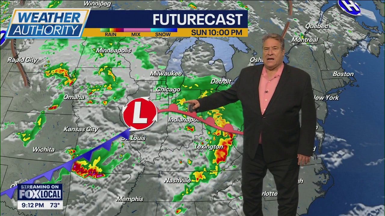
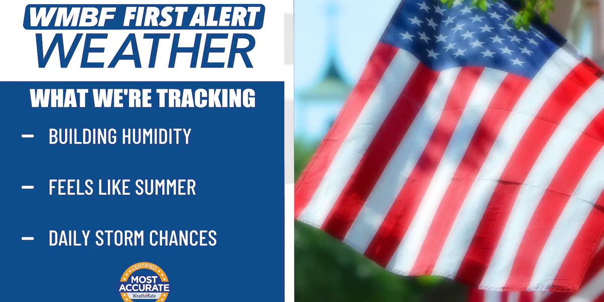
Washington, D.C. experienced markedly mild conditions Sunday as daytime highs reached nearly 25 degrees above normal, with upper-70s to upper-80s recorded regionally; a strong cold front advancing from Pennsylvania will bring increasing clouds and a chance of showers and thunderstorms late Sunday night into early Monday. Forecasters warned of localized severe threats including damaging wind gusts and hail north of D.C., a Severe Thunderstorm Watch in parts of the Ohio counties through midnight, and a sharp temperature drop Monday into midweek with seasonable highs returning by Wednesday.
Prepared by Emily Rhodes and reviewed by editorial team.
Timeline of Events
- Sunday daytime: widespread above-normal temperatures, some locations near 90°F.
- Late Sunday night: strong cold front moves southeast from Pennsylvania into affected regions.
- Overnight into Monday: scattered to isolated thunderstorms with watches for some counties until about midnight.
- Monday: frontal passage results in gusty northwest winds, lower humidity, and temperature drops into the 40s–50s.
- Midweek to late week: temperatures rebound late week with a second front possible Thursday–Friday.
Why This Matters to You
The sudden weather shift could impact your Monday commute. Expect possible road hazards due to storms and gusty winds. Check your local weather and plan accordingly. It's also a good time to secure outdoor items against wind damage.
The Bottom Line
This is a classic case of "if you don't like the weather, wait a minute." From near-summer highs to a chilly start of the week, Mother Nature's keeping us on our toes. Worth forwarding if you know someone who's planning outdoor activities this week.
- Articles Published:
- 7
- Right Leaning:
- 0
- Left Leaning:
- 0
- Neutral:
- 7
- Distribution:
- Left 0%, Center 100%, Right 0%
Utilities and emergency management gained lead time to prepare, while cooler temperatures reduced immediate heat stress for vulnerable populations.
Residents and outdoor event planners in affected areas faced elevated risk of damaging winds, large hail, heavy rain, and potential short-term power outages during overnight storms.
Coverage of Story:
From Left
No left-leaning sources found for this story.
From Center
Warm weekend, cold front brings overnight storms risk
WJLA https://www.wbtv.com FOX 5 DC WISH-TV | Indianapolis News | Indiana Weather | Indiana Traffic https://www.wtap.com https://www.wistv.com WMBF NewsFrom Right
No right-leaning sources found for this story.

Comments