Denver, DC Weather Shift: Freeze, Flood Risk, Warming
Read, Watch or Listen
Denver experienced rapidly changing conditions this weekend as fresh snow cleared and temperatures plunged into the teens and 20s Friday night, prompting hard-freeze and freeze warnings for some areas; by Saturday and into Sunday warmer air returned, with highs rising into the upper 50s to 70s and forecasts showing near-80s by early next week. Consequently, rapid snowmelt began across the Front Range and safety reminders were issued for vulnerable plants and surfaces; in Washington, D.C., a cold front brought rain, gusts exceeding 30 mph and a coastal flood advisory for Anne Arundel County through 10 a.m., with up to one foot inundation possible in low-lying coastal areas and cooler conditions expected Monday into Tuesday.
Prepared by Emily Rhodes and reviewed by editorial team.
Timeline of Events
- Fresh snowfall occurs in northeast Colorado, then skies clear late Friday.
- Friday night brings hard-freeze conditions with lows in the teens and 20s and Freeze Warnings.
- Saturday–Sunday warming returns to Denver; highs climb into 50s, 70s and melting accelerates.
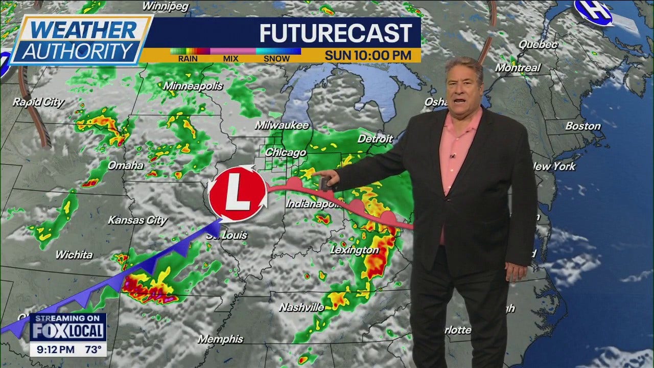
- Sunday morning cold front impacts the Washington, D.C. region with rain and gusts over 30 mph.
- Early week forecasts: Denver near 80s Monday–Wednesday; D.C. turns colder Monday into Tuesday.
Why This Matters to You
Weather changes can impact your safety and daily routines. In Denver, watch for slippery surfaces from rapid snowmelt. In D.C., be aware of possible flooding in low-lying areas. Protect vulnerable plants from freeze and flood conditions.
The Bottom Line
Stay informed and prepared as weather shifts rapidly. Denver folks, enjoy the warm-up but be cautious of melting snow. D.C. residents, brace for cooler conditions and monitor flood advisories. Worth forwarding if you know someone in these areas.
- Articles Published:
- 2
- Right Leaning:
- 0
- Left Leaning:
- 0
- Neutral:
- 2
- Distribution:
- Left 0%, Center 100%, Right 0%
Residents planning outdoor activities and local businesses benefited from warmer, sunnier conditions that reduced snow-related disruptions and allowed faster road and sidewalk recovery.
Gardeners and farmers faced overnight hard-freeze risks in Denver while low-lying shoreline communities in Anne Arundel County suffered tidal flooding threats and inundation risk.
Coverage of Story:
From Left
No left-leaning sources found for this story.
From Right
No right-leaning sources found for this story.


Comments