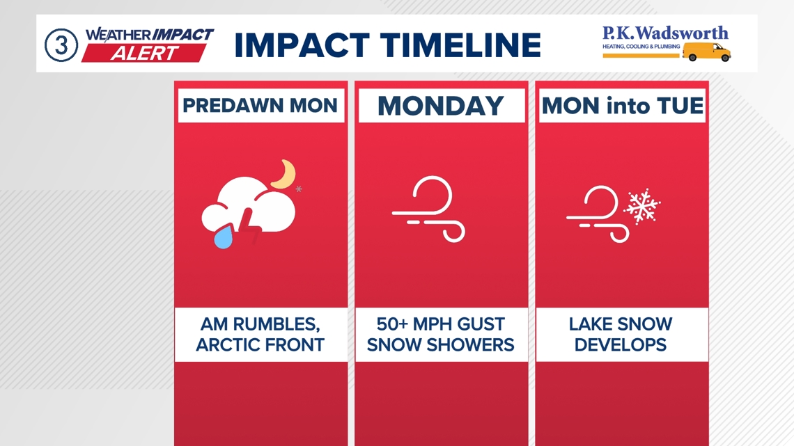
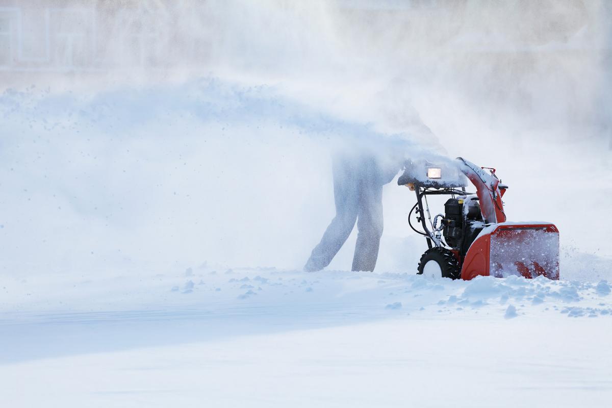
Timing of the latest storm system will keep severe weather to a minimum, but it won't keep us from snow.
Temperatures tumble across West Virginia today, flipping morning rain to afternoon snow as winds build. Severe storms remain possible east of I-79 late morning into early afternoon, with damaging winds the main concern near the Virginia border and the Eastern Panhandle; the outlook will be updated at 9 a.m. Colder air brings snow showers across NCWV by sunset, with thermometers sliding from the 60s toward freezing. The highest elevations could see 3 to 5 inches, with less than an inch elsewhere. Gusts may reach 50 mph on western slopes above 4000 feet. Quieter, milder weather follows after Tuesday.
Prepared by Olivia Bennett and reviewed by editorial team.
- Articles Published:
- 6
- Right Leaning:
- 0
- Left Leaning:
- 0
- Neutral:
- 6
- Distribution:
- Left 0%, Center 100%, Right 0%
Coverage of Story:
From Left
No left-leaning sources found for this story.
From Center
Timing of the latest storm system will keep severe weather to a minimum, but it won't keep us from snow.
https://www.wdtv.com FOX19 WXIX TV WCHS https://www.wbtv.com https://www.cleveland19.com WJLAFrom Right
No right-leaning sources found for this story.


Comments