Florida braces for storms as cold front approaches
Tap title to read story
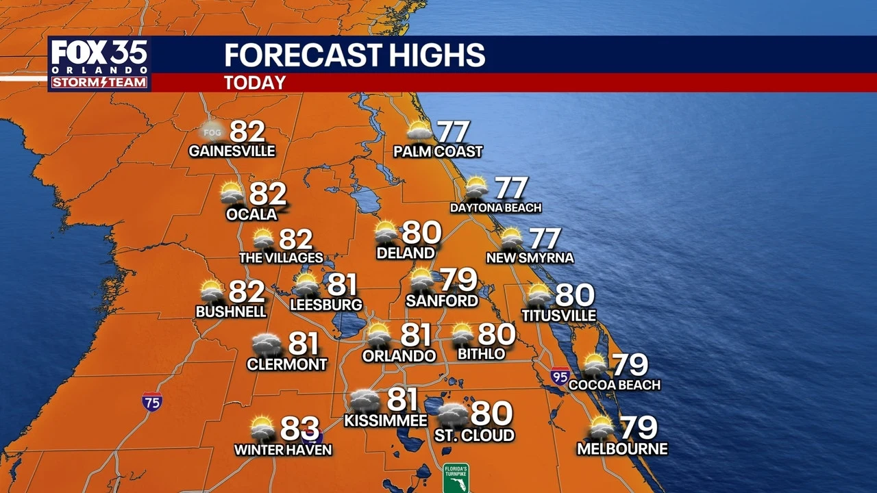
Florida meteorologists reported widespread unstable weather as a cold front approached this weekend, producing multiple rounds of showers and thunderstorms across central and southern regions. Local forecasts said warm, moist air would feed storms with marginal to slight severe risk, including gusty winds, small hail, isolated tornadoes, and localized flooding from one to two inches of rain, with isolated pockets possibly receiving four to six inches. Forecasters warned gusts near sixty miles per hour in stronger storms and predicted temperatures would fall below average after the front passes. Residents should monitor updates. Based on 6 articles reviewed and supporting research.
More context
Timeline
- 1. Onshore southerly flow increases moisture and humidity across Florida.
- 2. Sea-breeze collisions and upper-level disturbance trigger afternoon convection near coasts.
- 3. Repeated storm rounds produce pockets of heavy rain and gusty winds over the weekend.
- 4. A cold front approaches Monday, increasing widespread shower and thunderstorm coverage.
- 5. Front passage brings cooler, drier air and below-average temperatures mid-week.
Why it matters
Safety is key here. The predicted storms bring risks like gusty winds, hail, and possible tornadoes. Flooding could also occur in areas with heavy rainfall. It's crucial to stay updated on local weather reports and prepare your home accordingly.
Sources
JQJO Editorial Desk · Human reviewed · AI assisted. Report a correction.