Strong storms, gusts and rapid cold snap across regions
Tap title to read story
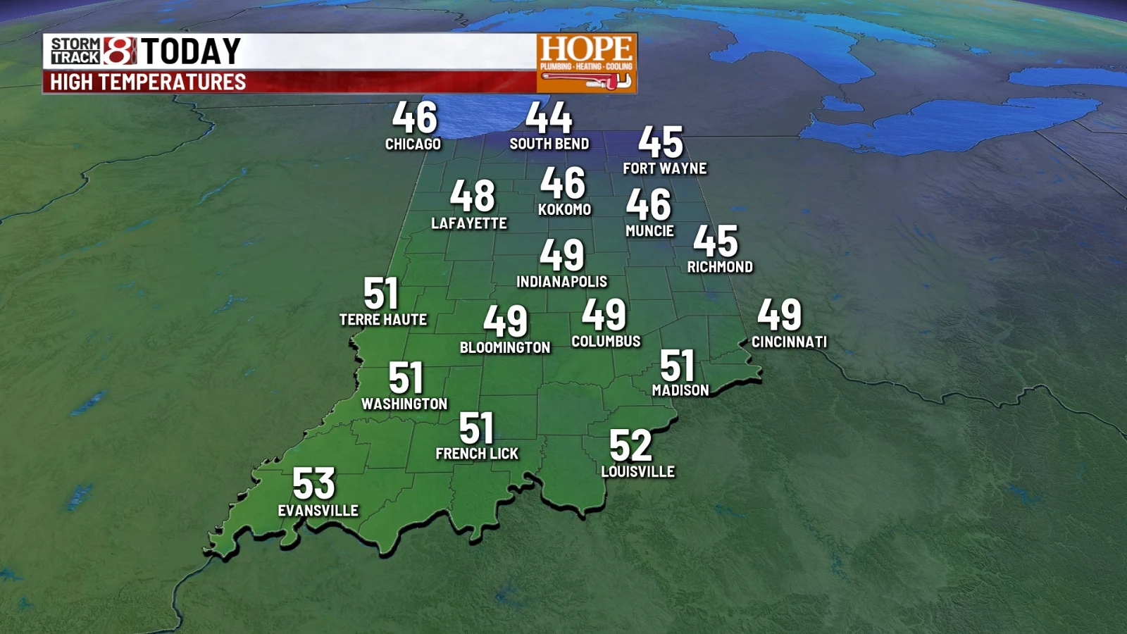
Nashville. Forecasters reported Thursday that a fast-moving cold front pushed across multiple states, producing heavy rain, isolated severe thunderstorms, damaging wind gusts, and a rapid temperature drop affecting the Midwest, Southeast and Gulf Coast regions. Wind advisories and First Alert warnings were issued for central Indiana, the Carolinas, Alabama, Tennessee and Florida; mountain areas saw brief snow at higher elevations. Travel disruptions and hazardous morning commutes were reported where storms and high winds were most intense. Temperatures will remain volatile into next week with a notable cold snap expected early next week. Based on 6 articles reviewed and supporting research.
More context
Timeline
- 1. Strong low-pressure system intensified near the northern Great Lakes, tightening the pressure gradient.
- 2. A cold front moved into the Carolinas and adjacent regions early Thursday with heavy rain and storms.
- 3. Wind advisories and First Alert days were issued across Indiana, the Carolinas, Alabama, Tennessee, and Florida.
- 4. Storms and heavy rain largely moved east and cleared by early afternoon in many areas.
- 5. A sharp temperature drop followed, with cooler, drier conditions and potential brief mountain snow at higher elevations.
Why it matters
This storm system affects your safety and time. Heavy rain, wind, and sudden temperature drops can make travel risky. Check your local forecasts before heading out. If you live in the affected regions, secure outdoor items against high winds.
Sources
JQJO Editorial Desk · Human reviewed · AI assisted. Report a correction.