Nationwide warm air fuels weekend severe storm threat
Tap title to read story
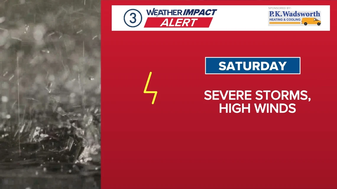
United States — Meteorologists warn of a multi-state severe weather threat spanning Friday into Saturday as a strong cold front advances east. Warm, moist air and strong southwesterly winds will push temperatures into 70s and 80s, creating instability for thunderstorms. Forecasts from regional news teams widely show Level 1–2 severe risk tiers, dense fog advisories, and potential for damaging straight-line winds, hail, and heavy rainfall. Authorities issued First Alert Weather notices and advised caution during peak afternoon and evening hours Saturday. Flooding concerns may persist after one-half to one inch of rain. Based on 6 articles reviewed and supporting research.
More context
Timeline
- 1. Early week: temperature inversion created widespread dense fog in parts of the Midwest.
- 2. Friday morning: scattered showers and isolated thunderstorms expected across multiple regions.
- 3. Friday into Saturday: warm, moist air pushed temperatures into the 70s–80s ahead of the front.
- 4. Saturday afternoon–evening: main severe threat window as a cold front advances east.
- 5. Sunday: storms diminish after frontal passage, though isolated showers and flooding concerns may persist.
Why it matters
Severe weather can disrupt your weekend plans. It's not just about getting wet. High winds, hail, and heavy rain can cause power outages, property damage, and dangerous driving conditions. Check your local forecast and plan accordingly.
Sources
JQJO Editorial Desk · Human reviewed · AI assisted. Report a correction.