Arctic Front Brings Snow, Winds and Severe Cold
Tap title to read story
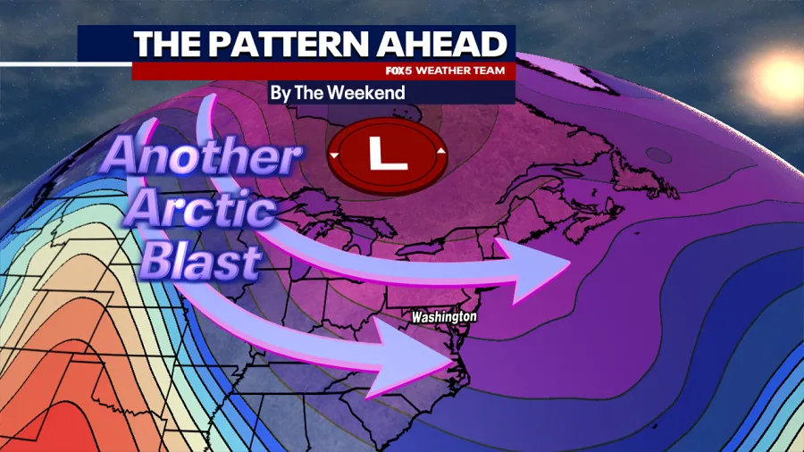
United States — Meteorologists forecast an arctic system will bring snow, strong winds and plunging temperatures across the Midwest and Mid-Atlantic this week. Agencies and local stations report light to moderate snowfall expected Friday into Saturday, with localized totals ranging roughly one to four inches, with isolated higher amounts in mountain areas. Forecasters warn of gusts up to 40+ mph, hazardous travel, and wind chills falling well below zero, especially Saturday morning. Overnight lows may reach single digits or below in many areas. Travel disruptions and icy conditions are likely on impacted roads. Based on 6 articles reviewed and supporting research.
More context
Timeline
- 1. Multi-day below-freezing temperatures preceded the current forecast period.
- 2. Cloud increase and isolated flurries expected Thursday as the system approaches.
- 3. Snow arrives Friday morning with the main frontal passage later Friday into Friday night.
- 4. Temperatures and wind chills fall sharply Friday night into Saturday, creating hazardous conditions.
- 5. Gradual warming expected mid next week with highs returning above freezing.
Sources
JQJO Editorial Desk · Human reviewed · AI assisted. Report a correction.