Chicago braces for intense lake-effect snow Friday
Tap title to read story
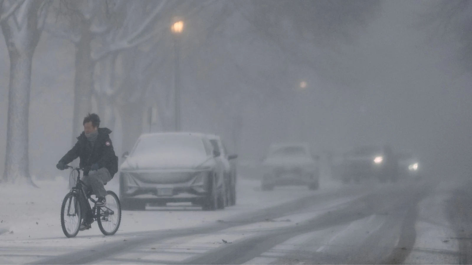
Chicago — Meteorologists forecast lake-effect snow to impact Chicago Friday into Saturday, producing scattered to heavy bursts that could create rapidly changing travel conditions. Bands forming over Lake Michigan around 5 a.m. and driven ashore by north-northeast winds by midmorning could drop 2–6 inches in many areas, with localized totals of 6–10 inches near the lakefront and brief rates up to 2–3 inches per hour. Winter Weather Advisories and Winter Storm Watches/Warnings cover Cook, DuPage, Lake, Will, Porter and Lake (IN) counties this Friday into Saturday. Officials urged motorists caution for Friday commutes. Based on 6 articles reviewed and supporting research.
More context
Timeline
- 1. Thursday morning: Initial observations noted cold air over Lake Michigan and no Illinois alerts from NWS.
- 2. Thursday daytime: Meteorologists reported bitter cold, negative-teens wind chills and forecast setup for lake-effect snow.
- 3. Late night/early Friday: Bands expected to form over Lake Michigan around 5 a.m.; winds to push snow ashore by 9 a.m.
- 4. Friday daytime: Winter Weather Advisories and Winter Storm Watches/Warnings enacted across Cook, DuPage, Lake, Will, Porter and Lake (IN) counties.
- 5. Friday into Saturday: Localized heavy bursts near the lakefront could produce rapid accumulations; officials warned of hazardous commutes.
Sources
JQJO Editorial Desk · Human reviewed · AI assisted. Report a correction.