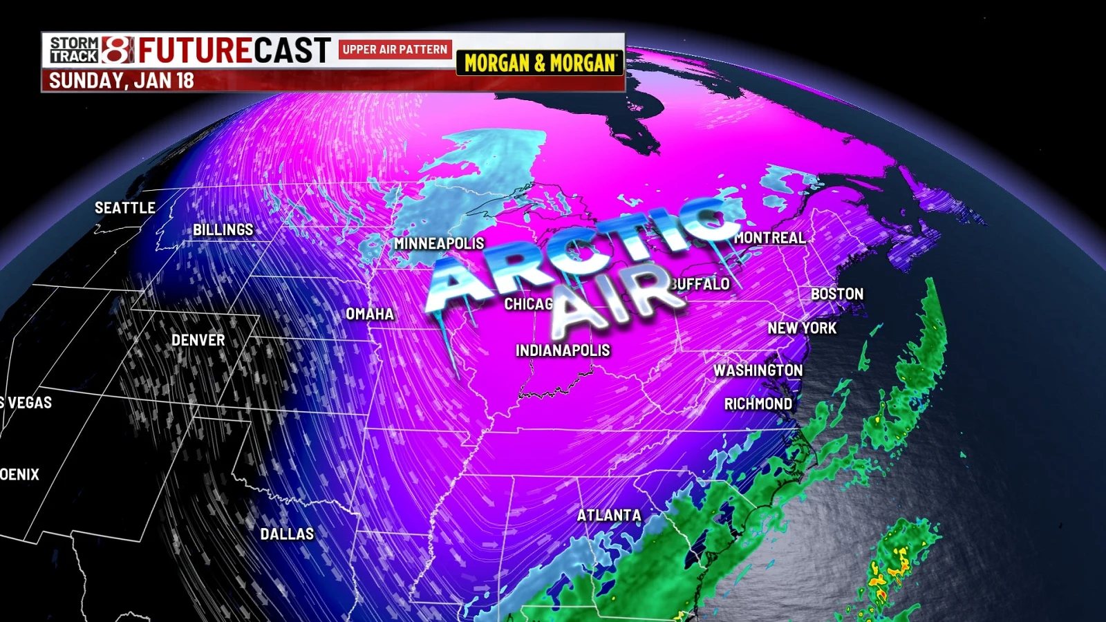
Weekend systems bring snow and Arctic air across regions
Tap title to read story
United States forecasters issued First Alert forecasts this week as a sequence of systems brought snow, wintry mixes and an Arctic push across the Midwest, South and Mid-Atlantic. Meteorologists cited a shortwave trough and a Gulf/coastal low that could produce snow late Saturday into Sunday across north and central Georgia, while lake-effect and fast-moving systems delivered light to moderate snow in Chicago and Indiana Friday. Forecasts warned of accumulating snow in localized zones, gusty winds and a follow-on Arctic air mass producing bitter cold into early next week. Travel impacts were possible. Based on 8 articles reviewed and supporting research.
More context
Timeline
- 1. Early-week high pressure delivered cold mornings across parts of the Southeast.
- 2. Friday: quick-moving systems and lake-effect snow produced light to moderate accumulations in Midwest and Indiana.
- 3. Late Saturday into Sunday: a shortwave trough and Gulf/coastal low threatened north and central Georgia with possible accumulating snow.
- 4. Sunday: model guidance remained split on coastal low track, leading to rain-to-snow transition uncertainty across the Southeast.
- 5. Early next week: a follow-on Arctic air mass was forecast to cause bitter cold and low wind chills regionally.
Sources
JQJO Editorial Desk · Human reviewed · AI assisted. Report a correction.