Cold fronts sweep U.S., causing wind, freezes, rain
Tap title to read story
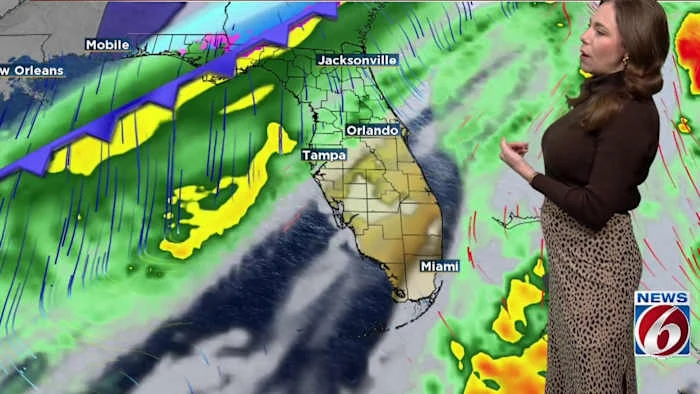
United States — Cold fronts moved across multiple regions this week, bringing strong winds, rain chances, and successive cold mornings. Lubbock reported 63 mph gusts early Thursday, prompting wind advisories; North Texas experienced elevated fire risk Friday while Gulf and Southeast states faced freeze warnings and falling temperatures. Forecasters noted rain-to-snow transition potential in elevated Tennessee locations and prolonged overnight lows along the Gulf Coast. Central Florida received Freeze Warnings and forecasts of another Arctic blast next week. Utilities and emergency services issued precautions as agencies tracked front timing and impacts. Based on 6 articles reviewed and supporting research and evidence.
More context
Timeline
- 1. Early morning: Lubbock Airport observed 63 mph wind gust and low visibility.
- 2. Shortly after: Wind advisories issued for parts of North Texas with elevated fire risk.
- 3. Next: Cold fronts progressed into Gulf Coast and Southeast, producing rain chances and cooler highs.
- 4. Following days: Nashville area saw warm southerly flow shift to rain then possible higher-elevation snow.
- 5. Outlook: Central Florida issued Freeze Warnings and forecasts indicated another Arctic surge early next week.
Sources
JQJO Editorial Desk · Human reviewed · AI assisted. Report a correction.