Northern Rockies, Plains Brace for Extreme Winds Wednesday
Watch & Listen in 60 Seconds
60-Second Summary
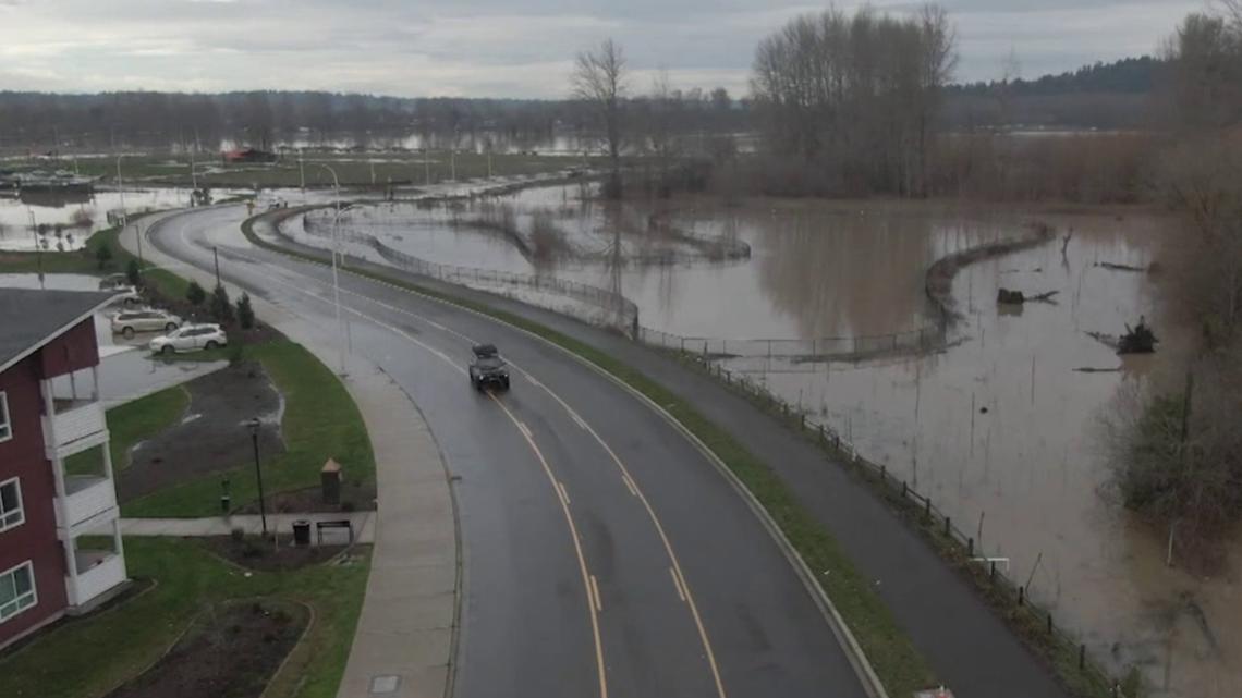
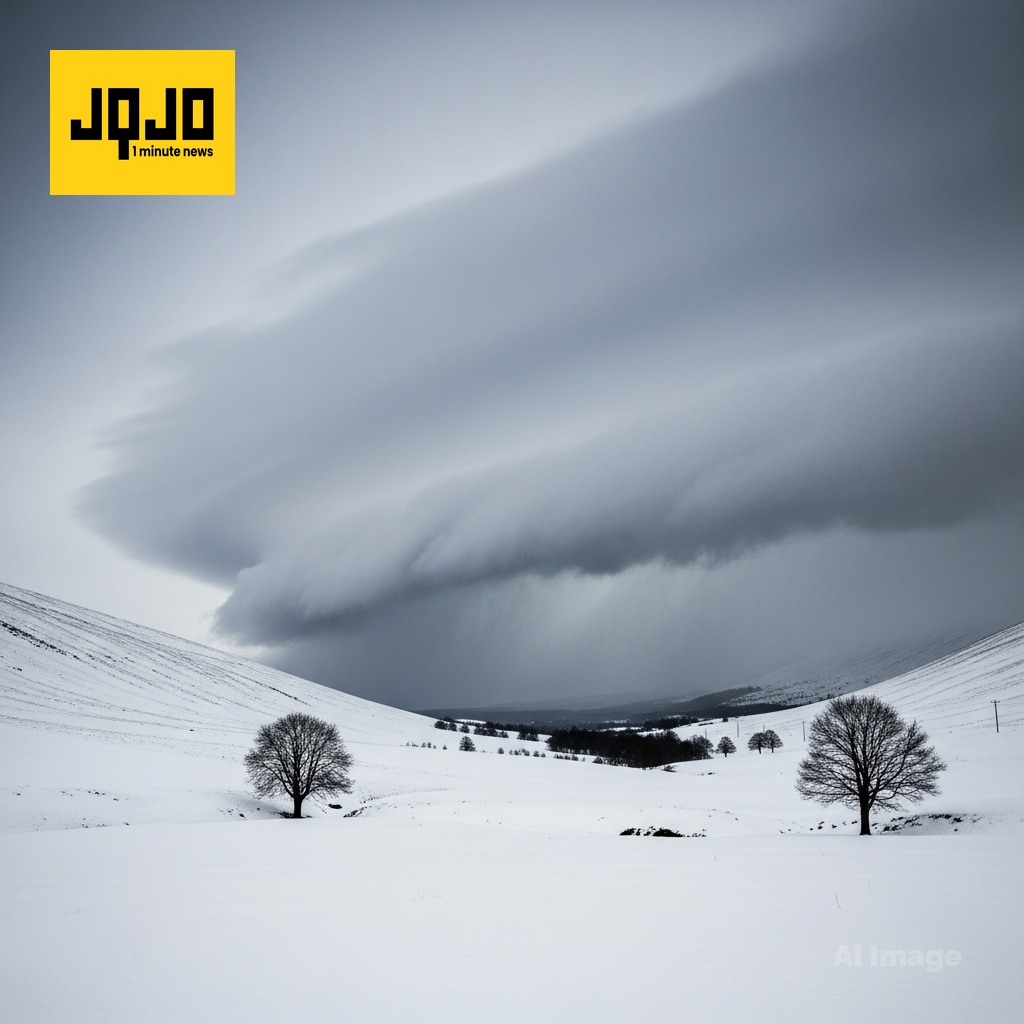
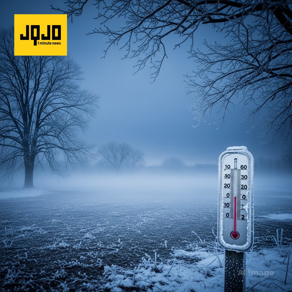
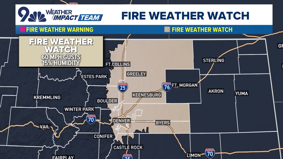
Denver — Meteorological agencies issued high wind and fire danger warnings as a fast-moving Pacific storm produced strong gusts, low humidity and temperature swings across the Northern Rockies this week. National Weather Service forecasts and local stations reported sustained winds of 30–65 mph with gusts up to 90 mph in mountain and foothill zones, and precipitation transitioning from rain to snow Tuesday night into Wednesday. Utilities warned of possible power shutoffs, and travel advisories urged delays on interstates and mountain passes. Emergency alerts emphasized securing property and avoiding outdoor burning. Based on 6 articles reviewed and supporting research.
About this summary
This 60-second summary was prepared by the JQJO editorial team after reviewing 6 original reports from KUSA.com, KPAX, KTVQ, INFORUM, East Idaho News and KBZK.
Timeline of Events
- Models show a Pacific storm approaching the Pacific Northwest and Northern Rockies.
- Tuesday night: high wind watches and warnings issued across multiple NWS offices.
- Wednesday morning into afternoon: gusts reported in the 30–80+ mph range and precipitation begins.
- Wednesday night (Dec. 17 referenced): peak winds and blizzard-like conditions expected in portions of ND and MN.
- Utilities warn of possible power shutoffs; travel advisories and safety guidance published.
- Articles Published:
- 6
- Right Leaning:
- 0
- Left Leaning:
- 0
- Neutral:
- 6
- Distribution:
- Left 0%, Center 100%, Right 0%
Utility crews, snow-removal contractors, emergency responders, and meteorological services received increased demand for services and work, generating revenue and operational activity during the high-wind event.
Residents, motorists, small businesses, and vulnerable infrastructure faced increased risk of property damage, power outages, travel disruption, and economic losses during the storms.
After reading and researching latest news.... Forecasts indicate sustained winds of 30–65 mph with localized gusts to 90 mph, low humidity in some regions increasing fire risk, and precipitation transitioning to snow causing whiteouts. Utilities and travel agencies recommended precautions, including securing property and delaying nonessential travel during peak wind periods.


Comments