Hard Freeze Hits; Midweek Warmup and Rain Expected
Watch & Listen in 60 Seconds
60-Second Summary
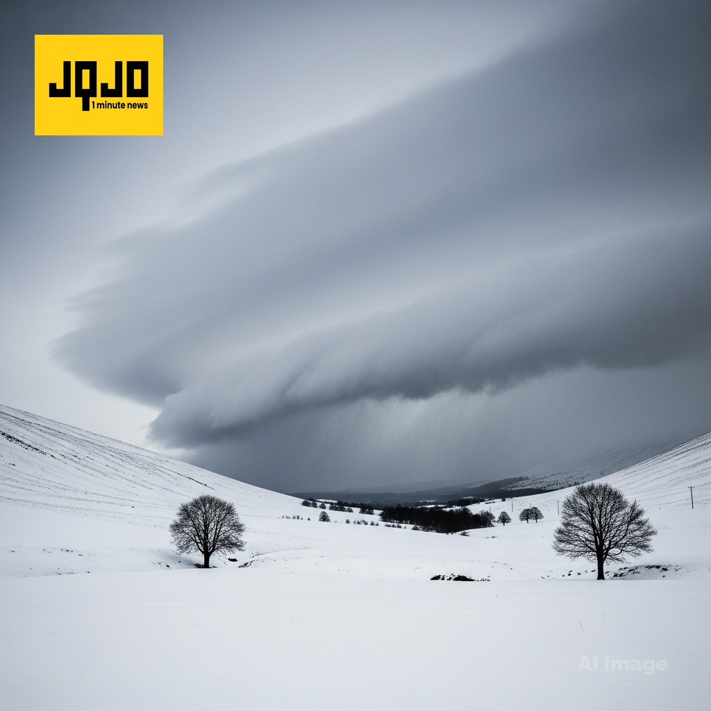
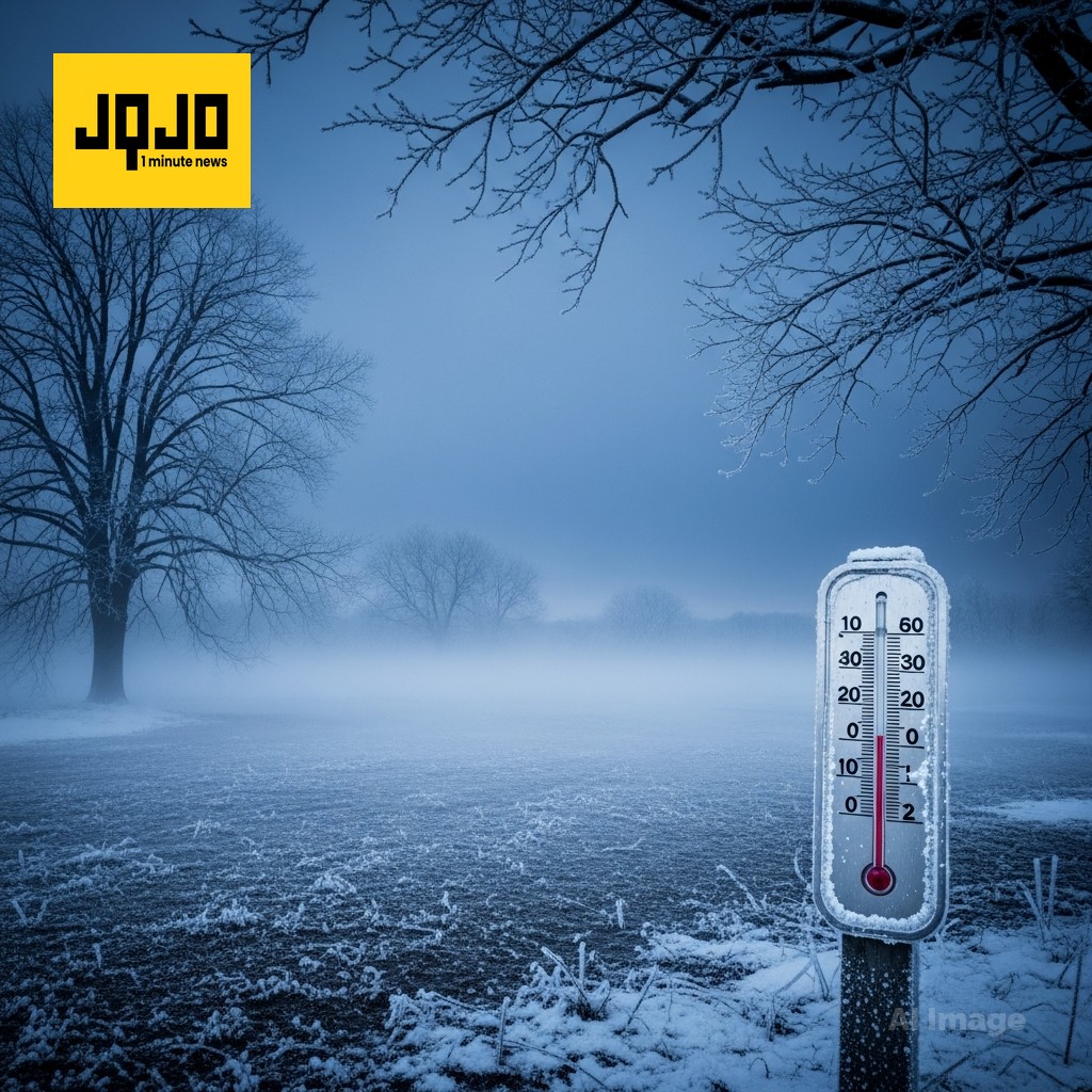
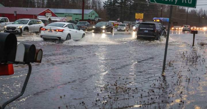
Birmingham Forecasters reported a sharp cold snap Monday across the Southeast, Midwest and Plains, with dangerous wind chills and hard freezes expected overnight. Meteorologists warned residents in Alabama, Florida, Ohio and Nebraska to prepare for single digit wind chills, teens and twenties for overnight lows, and coastal wind advisories for gusts up to thirty five miles per hour. Forecast guidance from the National Weather Service and local stations shows temperatures rebounding midweek into the fifties and sixties before a cold front brings rain and localized lake effect snow later in the week. Based on 6 articles reviewed and supporting research.
About this summary
This 60-second summary was prepared by the JQJO editorial team after reviewing 6 original reports from FOX10 News, https://www.wsfa.com, FOX 35 Orlando, Cleveland, https://www.ksnblocal4.com and https://www.wbrc.com.
Timeline of Events
- Weekend: Snow-filled conditions and lake-effect snow affected parts of Northeast Ohio.
- Monday morning: Bitter cold start with teens and 20s, dangerous wind chills reported.
- Monday night: Clear skies and calm winds produced hard freezes inland.
- Midweek: Temperatures rebound into the 50s and 60s across several regions.
- Late week: Cold front approaches bringing rain, gusty winds and localized snow.
- Articles Published:
- 6
- Right Leaning:
- 0
- Left Leaning:
- 0
- Neutral:
- 6
- Distribution:
- Left 0%, Center 100%, Right 0%
Short-term beneficiaries include farmers and utility crews who will see milder midweek temperatures reduce freeze damage and allow infrastructure recovery before the next front arrives.
Residents, motorists and outdoor workers experienced hazardous wind chills, freeze conditions and localized travel impacts during the Monday cold snap and overnight hard freeze.
After reading and researching news, meteorological data show a strong cold air mass brought dangerous wind chills and hard freezes across multiple regions Monday; forecasts and NWS guidance indicate a midweek warmup into the fifties and sixties, followed by a cold front producing rain and lake effect snow later week.
Coverage of Story:
From Left
No left-leaning sources found for this story.
From Center
Hard Freeze Hits; Midweek Warmup and Rain Expected
FOX10 News https://www.wsfa.com FOX 35 Orlando Cleveland https://www.ksnblocal4.com https://www.wbrc.comFrom Right
No right-leaning sources found for this story.


Comments