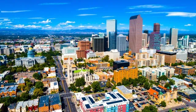
Western and Midwestern Regions See Mixed Winter Weather
Tap title to read story
DENVER — Mountain areas received snowfall Saturday while Denver and plains stayed dry as temperatures warmed, officials reported. Ski resorts logged 5–10 inches with 5–10 inches expected through the day; winds gusted up to 55 mph. In Central Illinois, a fast-moving system prompted a First Alert Weather Day and a Winter Weather Advisory Saturday night into Sunday, bringing snow, freezing drizzle and ice glaze, with highest totals north of I-74. Indianapolis-area forecasts called for mixed precipitation north Sunday morning and a rain-snow system Tuesday night. Warming follows before colder air returns this weekend. Based on 6 articles reviewed and supporting research.
More context
Timeline
- 1. Pre-season warmth delayed some ski-area openings ahead of early December.
- 2. Dec. 5: Red Lodge Mountain opened after delay with a 10–15 inch base and high visitor turnout.
- 3. Overnight into Saturday: mountains reported 5–10 inches of new snow with additional accumulation expected.
- 4. Saturday night–Sunday morning: Central Illinois issued Winter Weather Advisory and First Alert for snow and freezing drizzle.
- 5. Early next week: forecast models indicate an additional system Tuesday night in Indiana and a return to colder air.
Sources
JQJO Editorial Desk · Human reviewed · AI assisted. Report a correction.