Western and Midwestern Regions See Mixed Winter Weather
Read, Watch or Listen
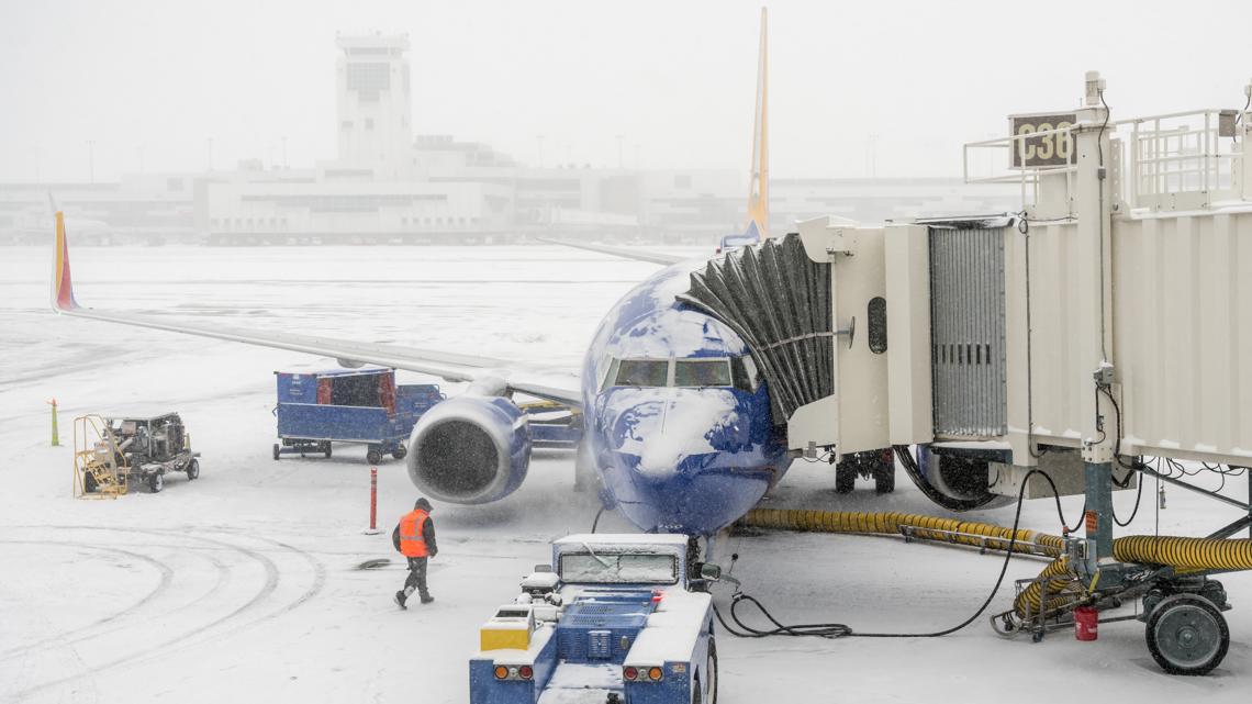
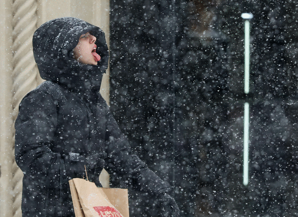
DENVER — Mountain areas received snowfall Saturday while Denver and plains stayed dry as temperatures warmed, officials reported. Ski resorts logged 5–10 inches with 5–10 inches expected through the day; winds gusted up to 55 mph. In Central Illinois, a fast-moving system prompted a First Alert Weather Day and a Winter Weather Advisory Saturday night into Sunday, bringing snow, freezing drizzle and ice glaze, with highest totals north of I-74. Indianapolis-area forecasts called for mixed precipitation north Sunday morning and a rain-snow system Tuesday night. Warming follows before colder air returns this weekend. Based on 6 articles reviewed and supporting research.
Prepared by Emily Rhodes and reviewed by editorial team.
Timeline of Events
- Pre-season warmth delayed some ski-area openings ahead of early December.
- Dec. 5: Red Lodge Mountain opened after delay with a 10–15 inch base and high visitor turnout.
- Overnight into Saturday: mountains reported 5–10 inches of new snow with additional accumulation expected.
- Saturday night–Sunday morning: Central Illinois issued Winter Weather Advisory and First Alert for snow and freezing drizzle.
- Early next week: forecast models indicate an additional system Tuesday night in Indiana and a return to colder air.
- Articles Published:
- 6
- Right Leaning:
- 0
- Left Leaning:
- 0
- Neutral:
- 6
- Distribution:
- Left 0%, Center 100%, Right 0%
Ski areas and local tourism benefited from renewed snowfall and expanded snowmaking, enabling terrain openings and higher visitor counts.
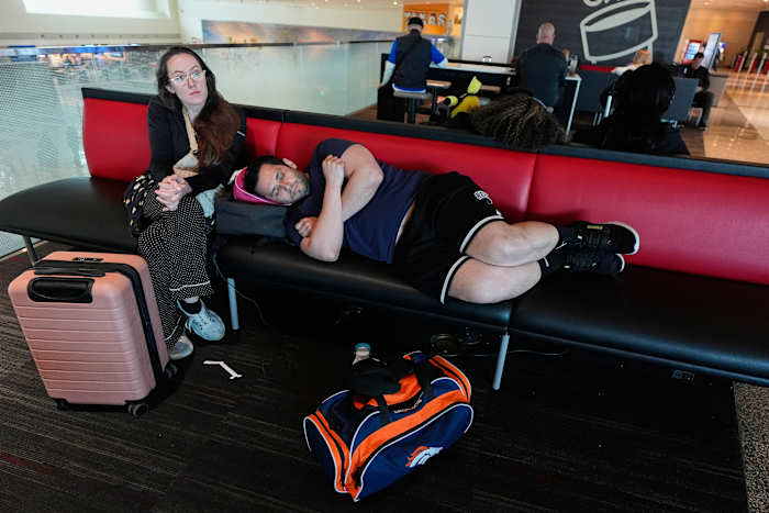
Commuters, pedestrians, and motorists in advisory zones suffered hazardous travel conditions from ice glaze, slick roads, and reduced visibility.
Coverage of Story:
From Left
No left-leaning sources found for this story.
From Center
Western and Midwestern Regions See Mixed Winter Weather
FOX31 Denver KDVR https://www.25newsnow.com Denver 7 Colorado News (KMGH) KTVQ https://www.25newsnow.com WISH-TV | Indianapolis News | Indiana Weather | Indiana TrafficFrom Right
No right-leaning sources found for this story.

Comments