Southeast Faces Weekend Rain, Heavier System Tuesday Morning
Read, Watch or Listen
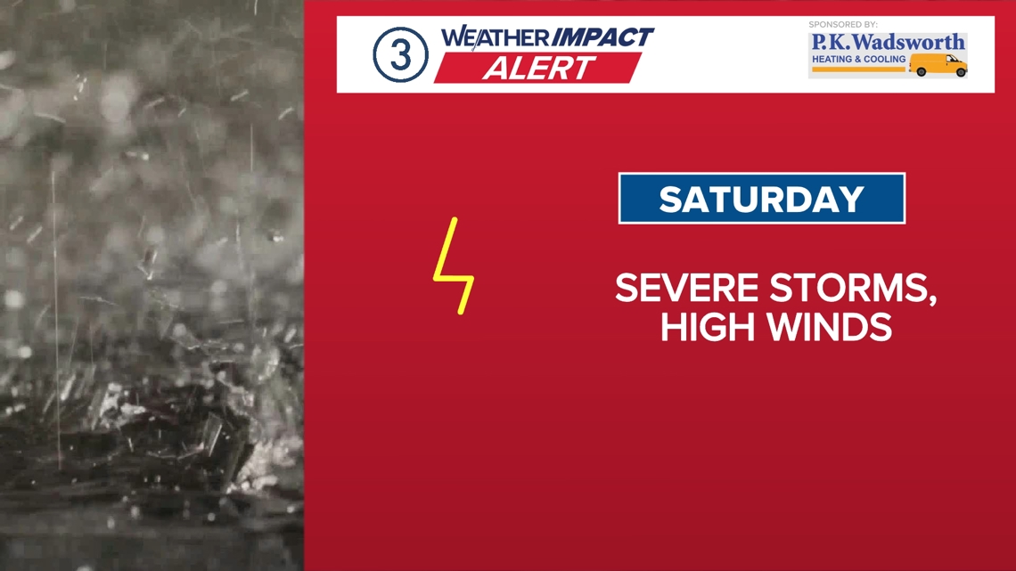
Atlanta. Forecasts across the Southeast show rain returning this weekend and a stronger system expected Tuesday, prompting First Alert Weather Days. Forecasters reported overnight and Sunday morning showers, with widespread heavy rain possible Tuesday morning and localized nuisance flooding where 1–2 inches fall. Models and the Weather Prediction Center indicate multi-day rainfall totals of 3–5 inches in some areas over the next week. Temperatures will remain cool, with lows near freezing in parts of north Georgia and highs in the 40s–70s regionally. Officials advised preparedness for slick roads and travel impacts. Based on 6 articles reviewed and supporting research.
Prepared by Olivia Bennett and reviewed by editorial team.
Timeline of Events
- Morning: Near- or below-freezing readings reported in parts of north Georgia.
- Saturday: Mostly dry, mild conditions in many areas with isolated sprinkles possible.
- Saturday night: Showers increase from the west into parts of the region.
- Sunday: Widespread rain through the morning, tapering to scattered showers by afternoon.
- Tuesday: Stronger low-pressure system expected to produce widespread heavy rain and localized 1–2 inch totals.
- Articles Published:
- 6
- Right Leaning:
- 0
- Left Leaning:
- 0
- Neutral:
- 6
- Distribution:
- Left 0%, Center 100%, Right 0%
Agriculture and water managers will benefit from additional rainfall replenishing soil moisture and local water supplies, reducing short-term dryness and lowering irrigation demand in some areas.
Commuters, event organizers, and motorists will face increased travel disruptions, slick roads, and localized nuisance flooding that could damage property and delay transportation.
Coverage of Story:
From Left
No left-leaning sources found for this story.
From Center
Southeast Faces Weekend Rain, Heavier System Tuesday Morning
https://www.atlantanewsfirst.com WAFB https://www.wbrc.com https://www.wistv.com https://www.wbrc.com https://www.wvlt.tvFrom Right
No right-leaning sources found for this story.


Comments