Widespread Winter Warnings Disrupt Thanksgiving Travel
Tap title to read story
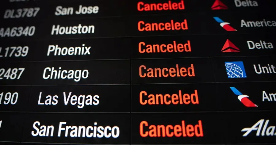
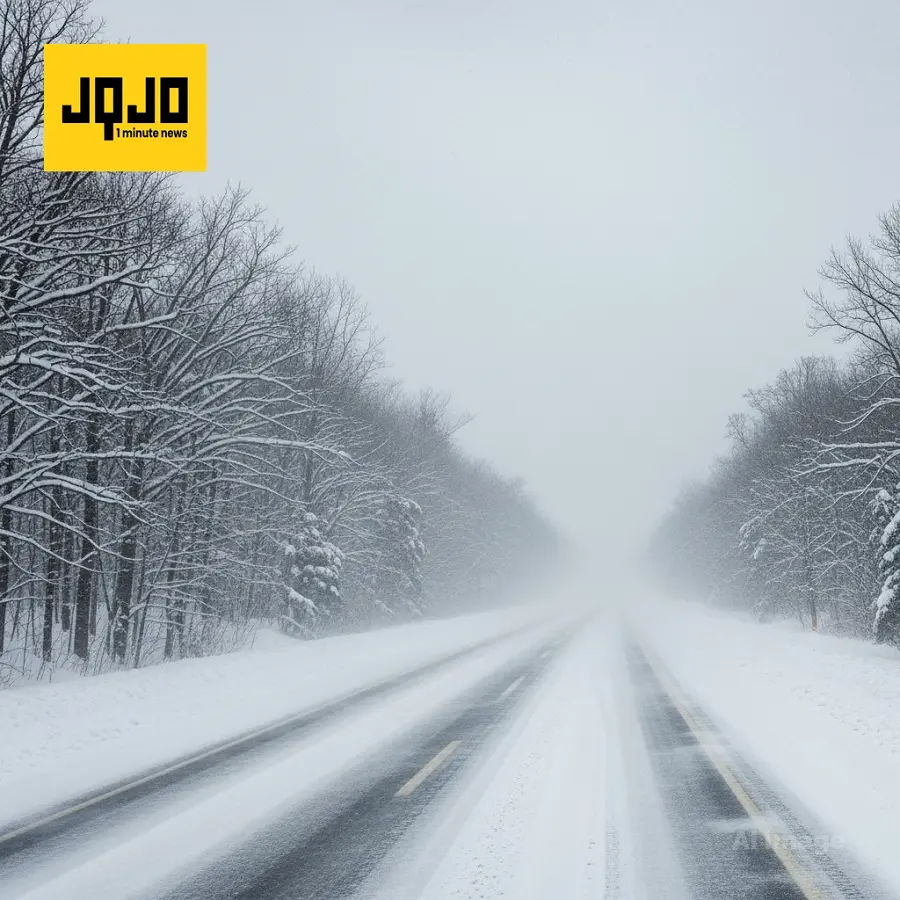
Syracuse, N.Y. — Multiple National Weather Service offices issued winter-storm warnings, watches, and lake-effect alerts across the Great Lakes, Midwest, Plains and parts of the Appalachian range this week, forecasting heavy, locally variable snowfall and gusty winds from Thursday through Saturday. Agencies reported accumulations ranging from a few inches up to 18–28 inches in isolated Upper Peninsula locations, and advised that bands may cause sharp changes in totals. Authorities warned of travel disruptions over Thanksgiving and the following weekend as precipitation may mix with rain in warmer areas, and urged public safety precautions. Based on 11 articles reviewed and supporting research.
More context
Timeline
- 1. Wednesday: Initial lake-effect and system-driven snowfall began in the Great Lakes Upper Peninsula with local measurements reported.
- 2. Thursday: NWS issued blizzard and lake-effect warnings; field offices recorded 15+ inch reports in some locations.
- 3. Late Thursday–Friday: Central New York and multiple Midwest and Plains counties received upgraded warnings and winter-storm watches.
- 4. Friday–Saturday: Forecast peak period for heavier snowfall, banding, gusty winds, and Thanksgiving travel disruptions.
- 5. Following week: Forecasters noted additional storm potential with mixed precipitation risk and further travel impacts.
Sources
JQJO Editorial Desk · Human reviewed · AI assisted. Report a correction.