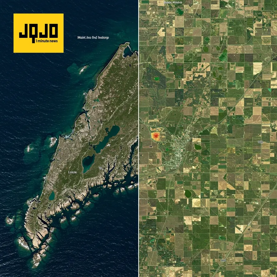
NISAR Satellite Shows Stunning Earth Images
Tap title to read story
0:00 / 0:33
NASA released stunning radar images from its new Earth-mapping satellite, NISAR, a joint U.S.-Indian mission. The $1.3 billion satellite, launched two months ago from India, captured detailed images of Maine's coastline and North Dakota farmland. Flying 747 kilometers high, NISAR will survey the world's land and ice masses multiple times, providing crucial data for disaster prediction and response. Full science operations begin in November.
More context
Sources
JQJO Editorial Desk · Human reviewed · AI assisted. Report a correction.