
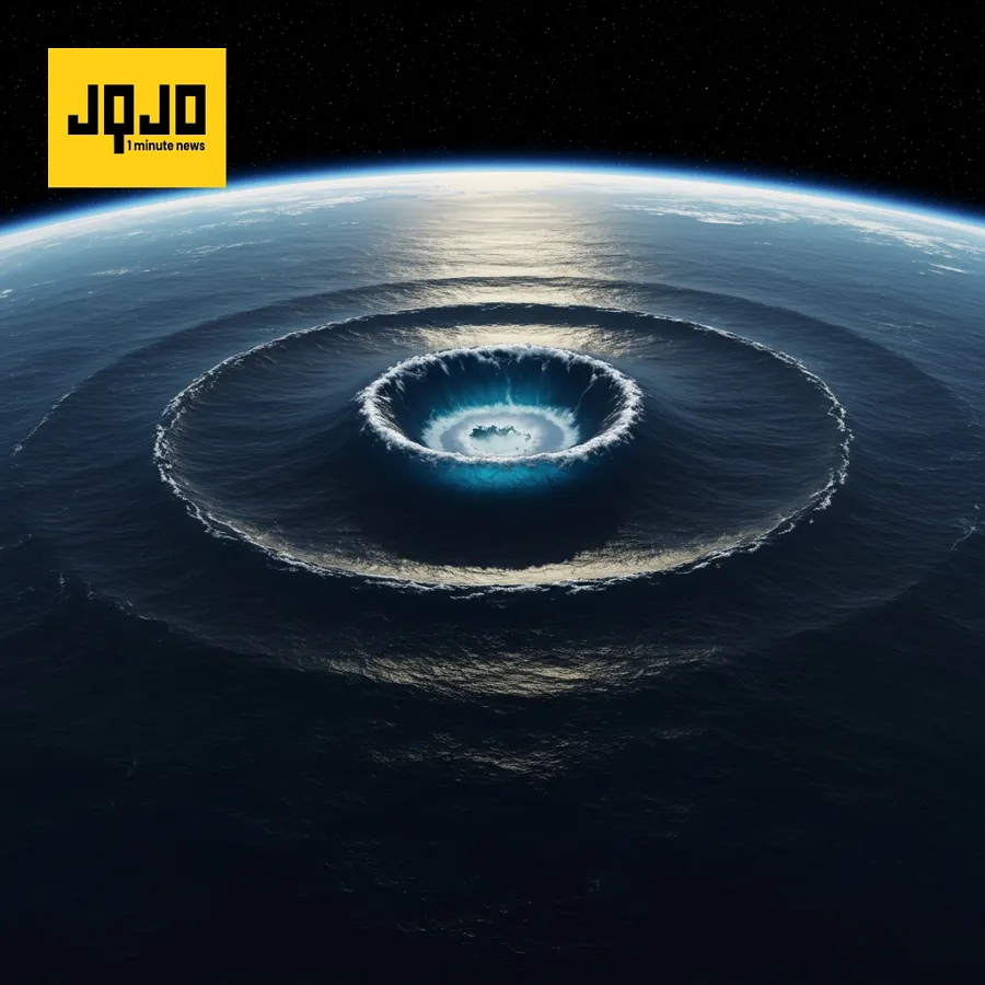
Satellite Data Improves Tsunami Forecasting Accuracy
Tap title to read story
0:00 / 0:34
A magnitude 8.8 earthquake off Russia's Kamchatka Peninsula in late July generated a tsunami, captured by NASA's SWOT satellite. While less powerful than anticipated, waves reached 13 feet near the epicenter. The U.S. West Coast, Hawaii, and Japan experienced smaller waves. NASA and NOAA scientists are using SWOT data to improve tsunami forecast models, validating the accuracy of NOAA's existing model and suggesting significant enhancements for future predictions.
More context
Sources
JQJO Editorial Desk · Human reviewed · AI assisted. Report a correction.