NYC Braces for Life-Threatening Flash Floods Under Flood Watch
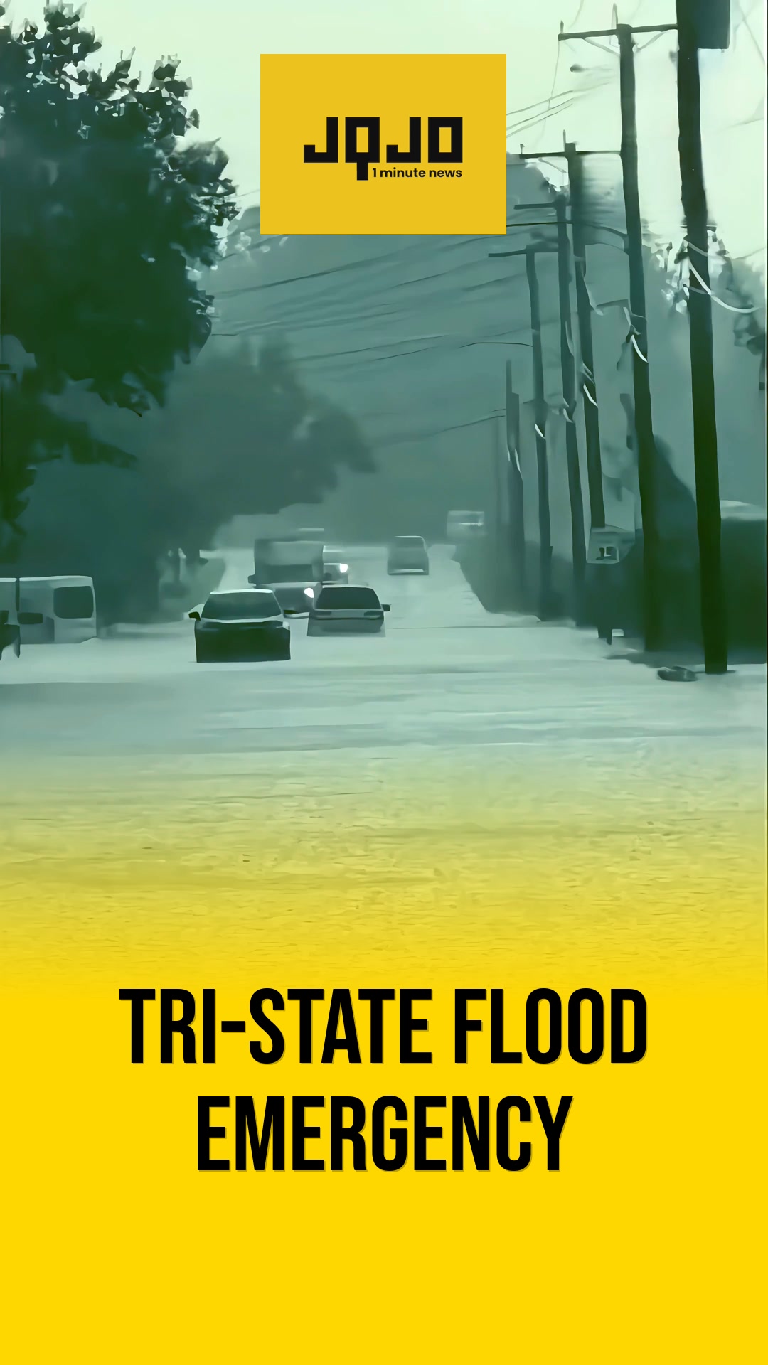
New York City and large parts of the Northeast are under a Flood Watch as a powerful storm system threatens to bring life-threatening flash flooding, widespread travel disruptions, and hundreds of flight cancellations. According to the National Weather Service, the active Flood Watch covers New York City, Long Island, the Hudson Valley, much of Connecticut, northern New Jersey, and eastern Pennsylvania. Slow-moving thunderstorms are expected to generate intense rainfall across the region. Forecasters report that many areas could receive between 2 and 5 inches of rain, while isolated downpours may dump 2 to 3 inches in just one hour, quickly overwhelming drainage systems and flooding roads, basements, and low-lying neighborhoods. Parts of the Catskills could experience up to 6 to 8 inches of rain within a few hours. The US Weather Prediction Center has placed New York City, Long Island, and the Mid-Hudson region under a moderate risk of excessive rainfall. The severe weather has already heavily impacted regional transportation. Hundreds of flight departures and arrivals have been canceled or delayed at major metropolitan airports, including John F. Kennedy International Airport, LaGuardia Airport, and Newark Liberty International Airport. Aviation officials advised travelers to verify flight statuses before heading to terminals. The New York City Emergency Management Department issued a travel advisory effective through Wednesday morning. Authorities warned that rainfall rates could exceed 2 inches per hour. Residents living in basement apartments were advised to prepare to move to higher ground if conditions deteriorate. Officials emphasized that motorists should never drive or walk through flooded streets, and public transit commuters should avoid entering flooded subw
Prepared by Olivia Bennett and reviewed by editorial team.
Coverage of Story:
From Left
No left-leaning sources found for this story.
From Right
No right-leaning sources found for this story.






Comments