Utah forecasts: cooler start, critical fire danger returns
Read, Watch or Listen
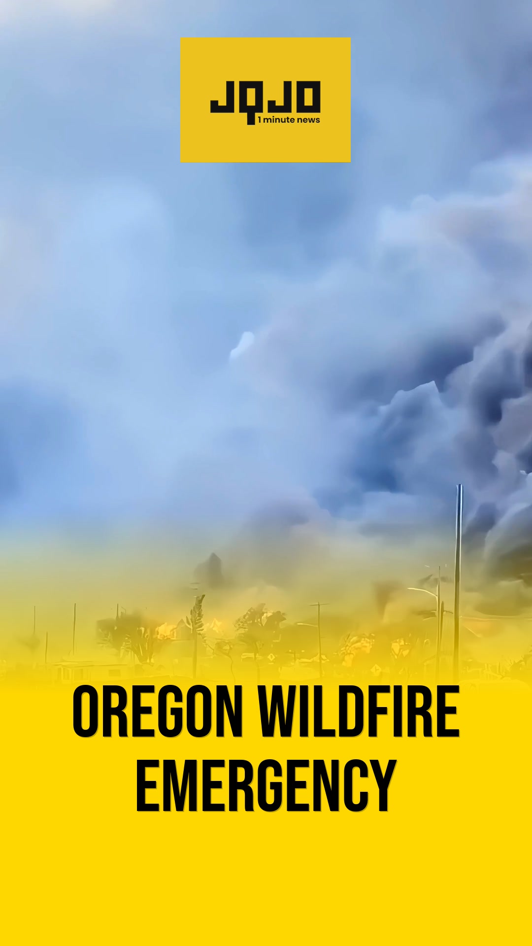
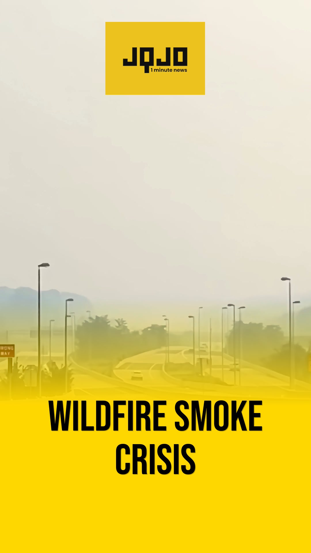
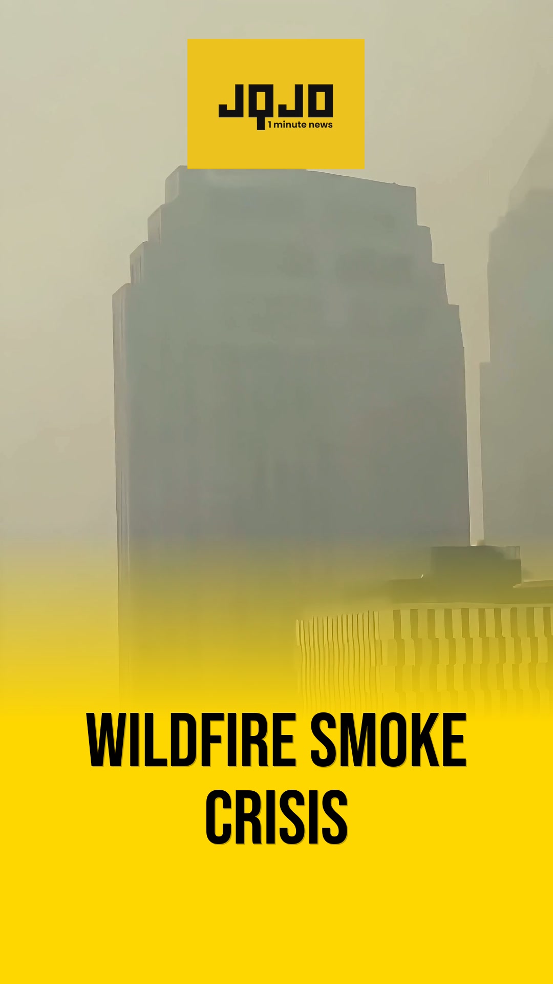
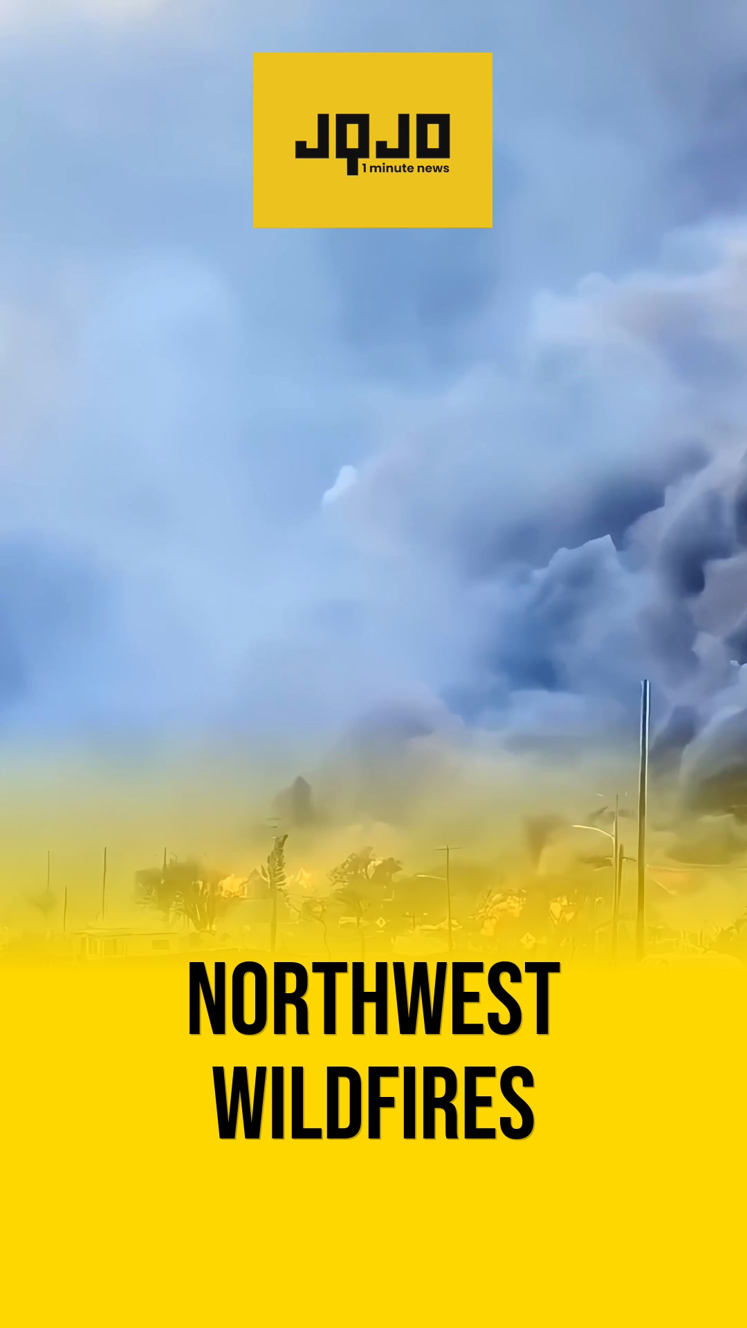
SALT LAKE CITY. This week Utah experienced below-average temperatures early Monday and Tuesday, with daytime highs ranging from the upper 60s to low 90s depending on region, and persistent smoke from western wildfires including the Iron, Cherry and Cottonwood Fires. Local forecasts on Monday and Tuesday noted cooler northwest flow, isolated mountain shower chances, and lingering smoke downwind in the valley. By Wednesday the forecast calls for a wind shift to southerly flow, bringing drier air, gusts up to 35 mph and relative humidities near 8–12 percent; officials announced Red Flag Warnings for much of eastern Utah from 12pm to 9pm, and warned that critical fire danger will build from south to north midweek, sustaining smoke and air-quality impacts.
Prepared by Olivia Bennett and reviewed by editorial team.
Timeline of Events
- Monday: Northwest flow yields below-average temperatures and lingering wildfire smoke.
- Late Monday afternoon: Patchy smoke expected across Utah Valley downwind of Iron and Cherry Fires.
- Tuesday: Continued cooler northwest flow with isolated mountain shower chances; elevated fire danger persists.
- Wednesday morning: Winds shift from north to south, introducing drier air and stronger gusts.
- Wednesday afternoon–evening: Red Flag Warnings in eastern Utah with critical fire danger and gusts up to 35 mph.
Why This Matters to You
The weather shift in Utah impacts your health and safety. Smoke from wildfires can worsen air quality, affecting those with respiratory issues. The Red Flag Warnings indicate a high risk of fire, which could threaten homes and communities.
The Bottom Line
Stay alert and prepared. Check local forecasts regularly, especially if you have health concerns related to air quality. If you're in an area with Red Flag Warnings, have an evacuation plan ready. Share this with your Utah friends and family to ensure they're aware.
- Articles Published:
- 6
- Right Leaning:
- 0
- Left Leaning:
- 0
- Neutral:
- 6
- Distribution:
- Left 0%, Center 100%, Right 0%
Fire management agencies and firefighting crews benefit from clearer conditions and advance warnings, enabling resource allocation and pre-positioning to respond to critical fire danger.
Residents in eastern and southern Utah, particularly near the Iron, Cherry, and Cottonwood Fires, experienced smoke exposure, elevated air-quality impacts, and heightened evacuation and property-risk concerns as fire danger increased.



Comments