Utah faces critical fire weather and dangerous winds
Read, Watch or Listen
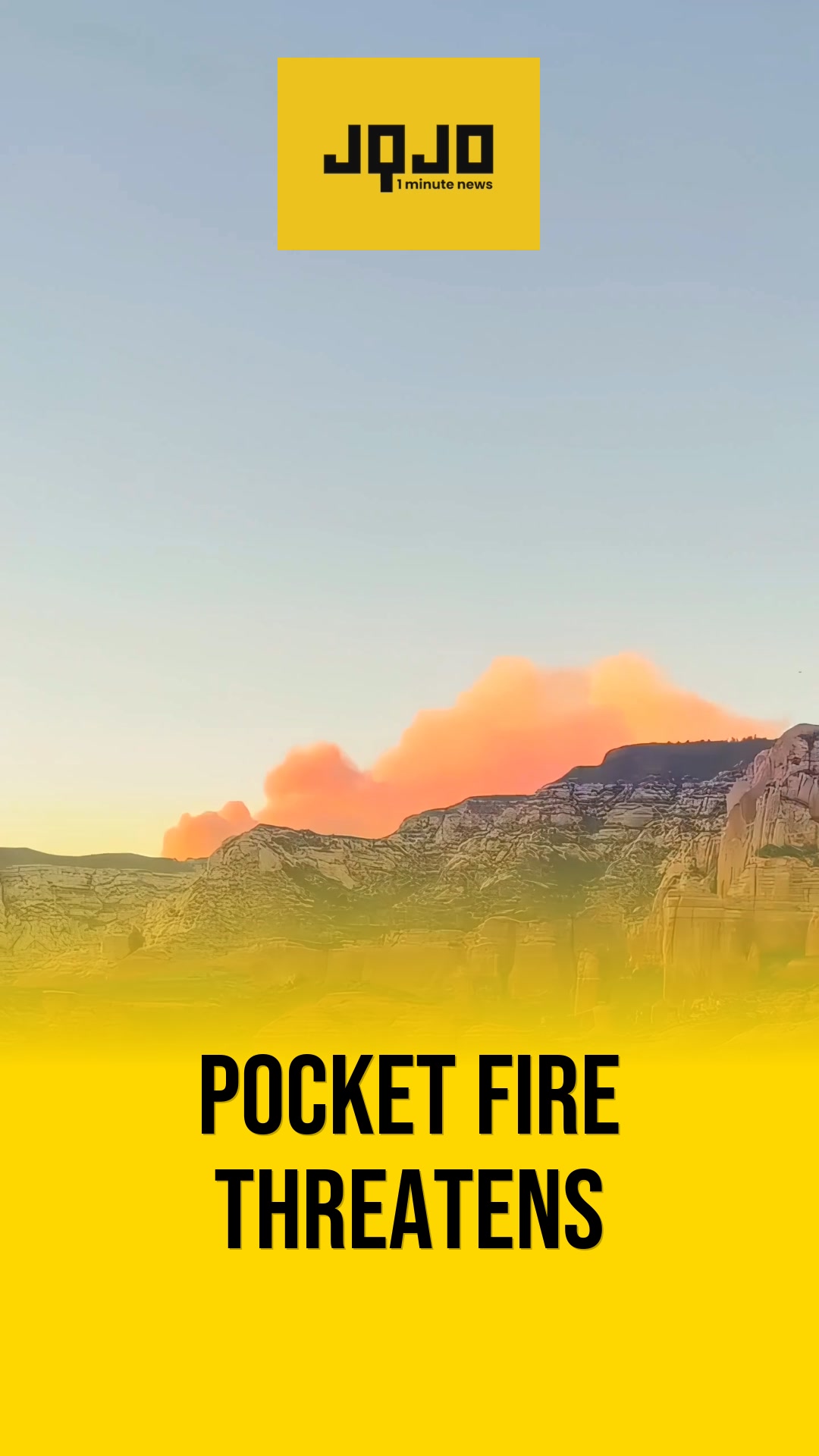
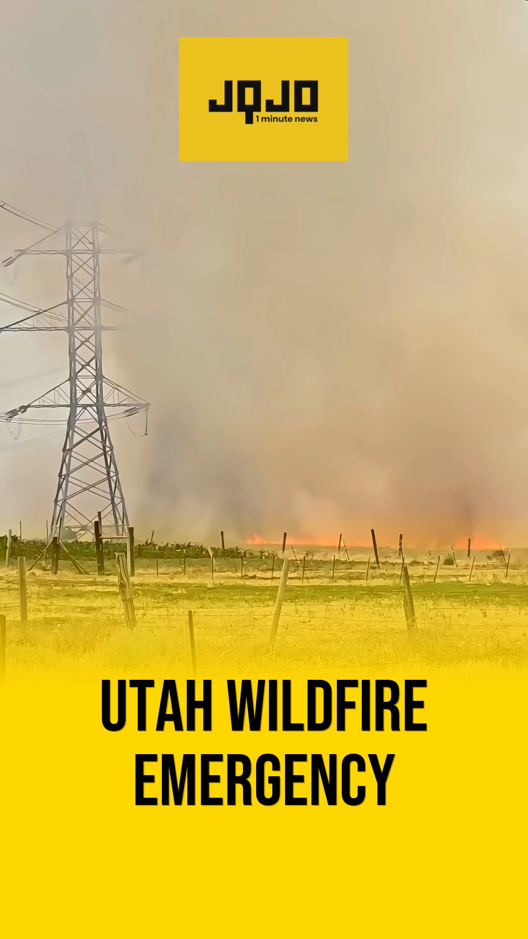
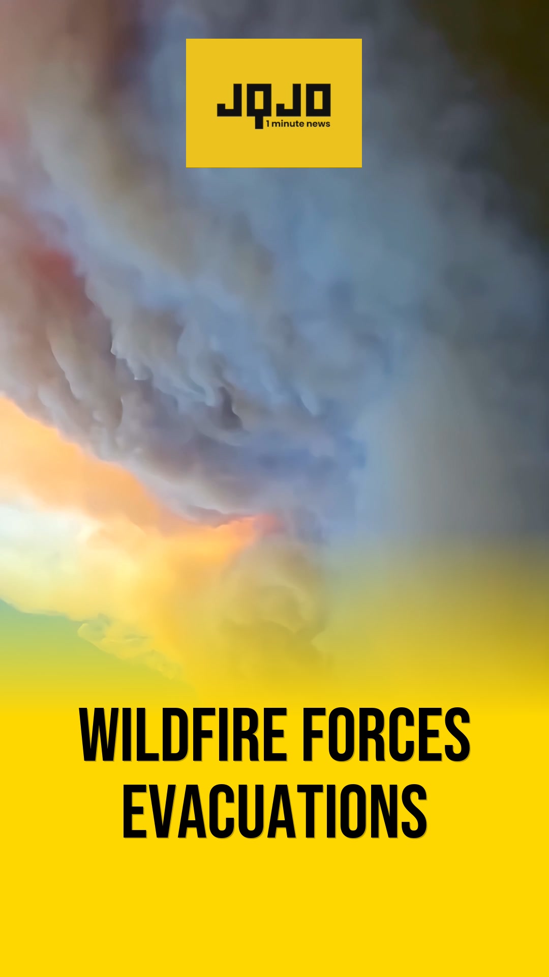
Salt Lake City — Meteorologists reported on Friday that Utah experienced a run of dry thunderstorms and high heat beginning Thursday, producing lightning with little rainfall and damaging wind gust potential across northern and central regions. The Storm Prediction Center placed parts of north and central Utah under a marginal severe-risk on Thursday while forecasts warned of extreme fire weather for Friday. State and federal weather agencies issued Red Flag Warnings and a Particularly Dangerous Situation designation for portions of southwestern Utah this week, citing gusts up to 50–55 mph and relative humidity near 7 percent. Officials advised residents to prepare emergency kits and know evacuation routes, while emergency responders staged resources Friday and into the weekend to address rapid-fire spread risks.
Prepared by Olivia Bennett and reviewed by editorial team.
Timeline of Events
- Thursday: Dry thunderstorms move across southern Utah, spreading north through evening.
- Thursday later: SPC places north and central Utah under marginal severe-risk for storms.
- Friday: NWS issues Red Flag Warnings statewide and a PDS for southwest Utah.
- Friday: Wind Advisories issued as gusts reach 40–55 mph in affected areas.
- Friday–Weekend: Emergency responders stage resources; residents urged to prepare and monitor advisories.
Why This Matters to You
This extreme weather in Utah could impact your safety. Dry thunderstorms and high winds increase the risk of wildfires. If you're in the affected areas, prepare an emergency kit and know your evacuation routes. Keep an eye on weather advisories.
The Bottom Line
Utah is facing a serious fire weather situation. With gusts up to 55 mph and low humidity, conditions are ripe for wildfires. Emergency responders are ready, but residents need to be too. Worth forwarding if you know someone in Utah.
- Articles Published:
- 2
- Right Leaning:
- 0
- Left Leaning:
- 1
- Neutral:
- 1
- Distribution:
- Left 50%, Center 50%, Right 0%
Emergency services, firefighting agencies, and meteorological services will see increased resource deployment and demand for forecasting, equipment, and coordination during the critical fire-weather period.
Residents, property owners, and communities across Utah—especially in central and southwestern counties—face elevated risk of rapid wildfire spread, evacuations, and infrastructure damage due to high winds and extremely low humidity.
Coverage of Story:
From Right
No right-leaning sources found for this story.
Comments