Wildfires in Utah Trigger Evacuations and Aerial Mapping
Tap title to read story
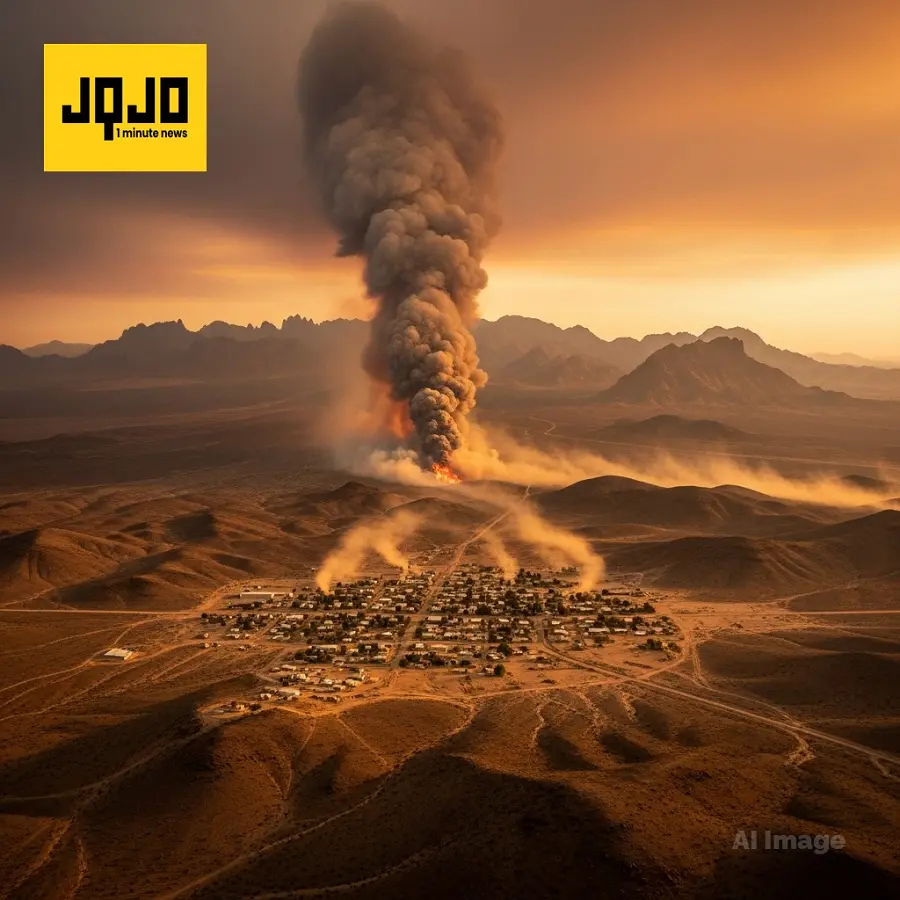
Eureka, Utah. The Iron Fire burned toward Eureka this weekend, prompting officials to place the town on a READY status on June 20 and later order evacuations after shifting winds accelerated the blaze; local reports cite discovery around midnight Saturday and rapid acreage growth tracked by Utah Fire Info and local crews.
Tooele County saw the Hastings Fire mapped at approximately 5,993 acres on June 21, with officials reporting overnight wind-driven growth and rotating a Utah task force with engines, water tenders and a helicopter; residents were told to avoid Rydalch Pass, Route 6 saw closures, and authorities urged preparedness and monitoring of official updates.
More context
Timeline
- 1. Friday evening — initial reports of wildfire spread in Juab and Tooele counties.
- 2. Saturday around midnight — Iron Fire discovered near Eureka and began rapid growth.
- 3. Saturday morning — residents noticed extensive burning; Eureka placed on READY status.
- 4. Saturday evening — mandatory evacuations issued for Eureka area; Route 6 closed.
- 5. Sunday afternoon (June 21) — Hastings Fire aerial mapping estimated at 5,993 acres; task force rotated.
Why it matters
Wildfires can pose a serious threat to your safety and property. If you live in or near Eureka or Tooele County, stay alert. Monitor official updates and be ready to evacuate if necessary. It's a good time to review your emergency plan.
Sources
JQJO Editorial Desk · Human reviewed · AI assisted. Report a correction.