United States braces for severe storms, flooding threat
Read, Watch or Listen

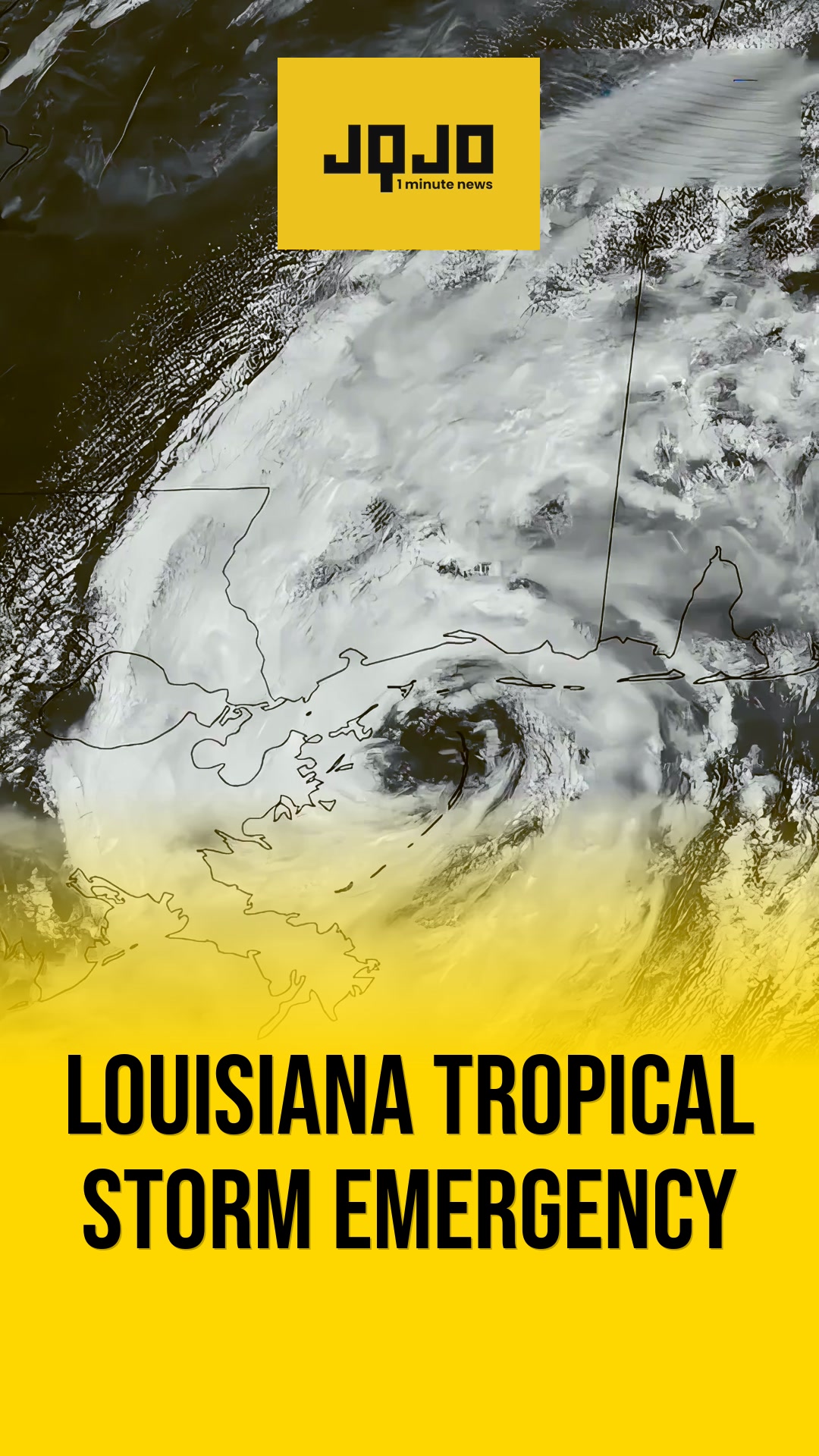
The National Weather Service has issued an active severe weather outlook from the Central Plains through the Northeast United States, in effect through June 8, 2026. Upper-level energy interacting with Gulf of Mexico moisture is driving widespread thunderstorms, with the Storm Prediction Center and Weather Prediction Center highlighting Slight Risk areas for both severe storms and excessive rainfall. Forecasters warn of flash flooding, damaging wind gusts, large hail, and possible tornadoes, particularly across the Central Plains, Ohio Valley, Middle Mississippi Valley, and Northeast. Local emergency agencies urge residents to follow alerts as rapidly changing conditions threaten infrastructure and public safety.
Prepared by Olivia Bennett and reviewed by editorial team.
Timeline of Events
- Early June 2026 NWS issues multi-day outlook
- Early June 2026 Gulf moisture surges northward
- Early June 2026 Thunderstorm clusters organize widely
- Through June 8 2026 Slight Risk areas designated
- Saturday night 2026 Front advances toward Northeast
- Through Sunday morning 2026 Peak storm intensity expected
- Early June 2026 Emergency agencies urge public monitoring
- Early June 2026 NWS highlights infrastructure safety threats
Why This Matters to You
Severe weather can disrupt daily life. Power outages, blocked roads, and potential evacuations are real possibilities. It's not just about getting wet. It's about safety and preparedness. Check your emergency supplies and stay tuned to local alerts.
The Bottom Line
Mother Nature is flexing her muscles, and it's serious. The risk of flash floods, damaging winds, and even tornadoes is on the table. If you're in the risk areas, it's time to act. Worth forwarding if you know someone in the storm's path.
Coverage of Story:
From Left
No left-leaning sources found for this story.
From Right
No right-leaning sources found for this story.






Comments