Warmth persists as storm chances rise along coasts
Tap title to read story
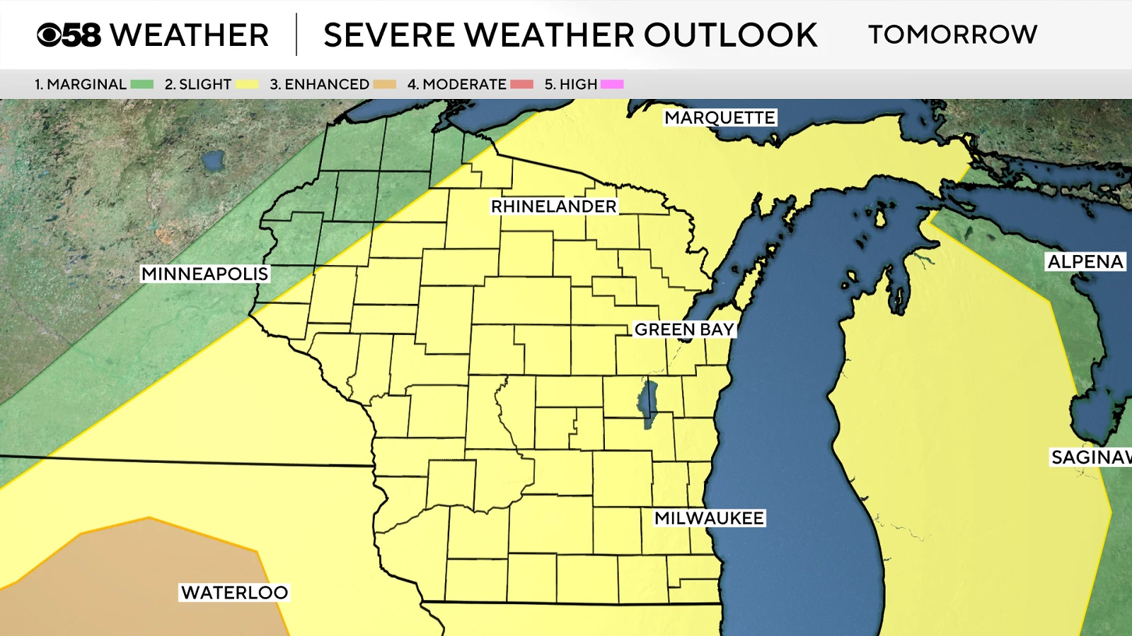
Milwaukee, Dayton, Sarasota and Myrtle Beach meteorologists issued forecasts Monday warning of persistent warmth and increasing storm chances across their regions. Stations reported high temperatures in the 80s to 90s and noted late-afternoon and evening thunderstorm potential beginning Monday and into Tuesday, with isolated strong storms possible in parts of Ohio and elsewhere.
Local forecasts indicated a cold front moving through Tuesday, bringing a higher chance of showers and a midweek cooldown. The Sarasota briefing emphasized daily afternoon storms and lingering drought concerns, while Myrtle Beach issued a First Alert for daily storm chances beginning Thursday; meteorologists advised residents to monitor updates, apply sun protection, and prepare for localized impacts.
More context
Timeline
- 1. Saturday: Milwaukee recorded a high of 84, the warmest day of the year.
- 2. Sunday: Cooler conditions expected in Milwaukee with highs in the 60s and scattered showers possible.
- 3. Monday: Local forecasts warn of warm temperatures and increasing late-day/evening storm chances across multiple regions.
- 4. Tuesday: A cold front is forecast to move through, raising storm potential and bringing cooler air.
- 5. Midweek to weekend: Cooler, drier air midweek with renewed daily storm chances Thursday through the weekend in some coastal areas.
Why it matters
Persistent warmth and rising storm chances can impact your daily routines. It's a safety issue. High temperatures can pose health risks, while storms can disrupt travel and cause damage. Check local forecasts regularly. Stay hydrated and apply sun protection.
Sources
JQJO Editorial Desk · Human reviewed · AI assisted. Report a correction.