Rain Clearing, Heat Rising Across Gulf To Midwest
Read, Watch or Listen
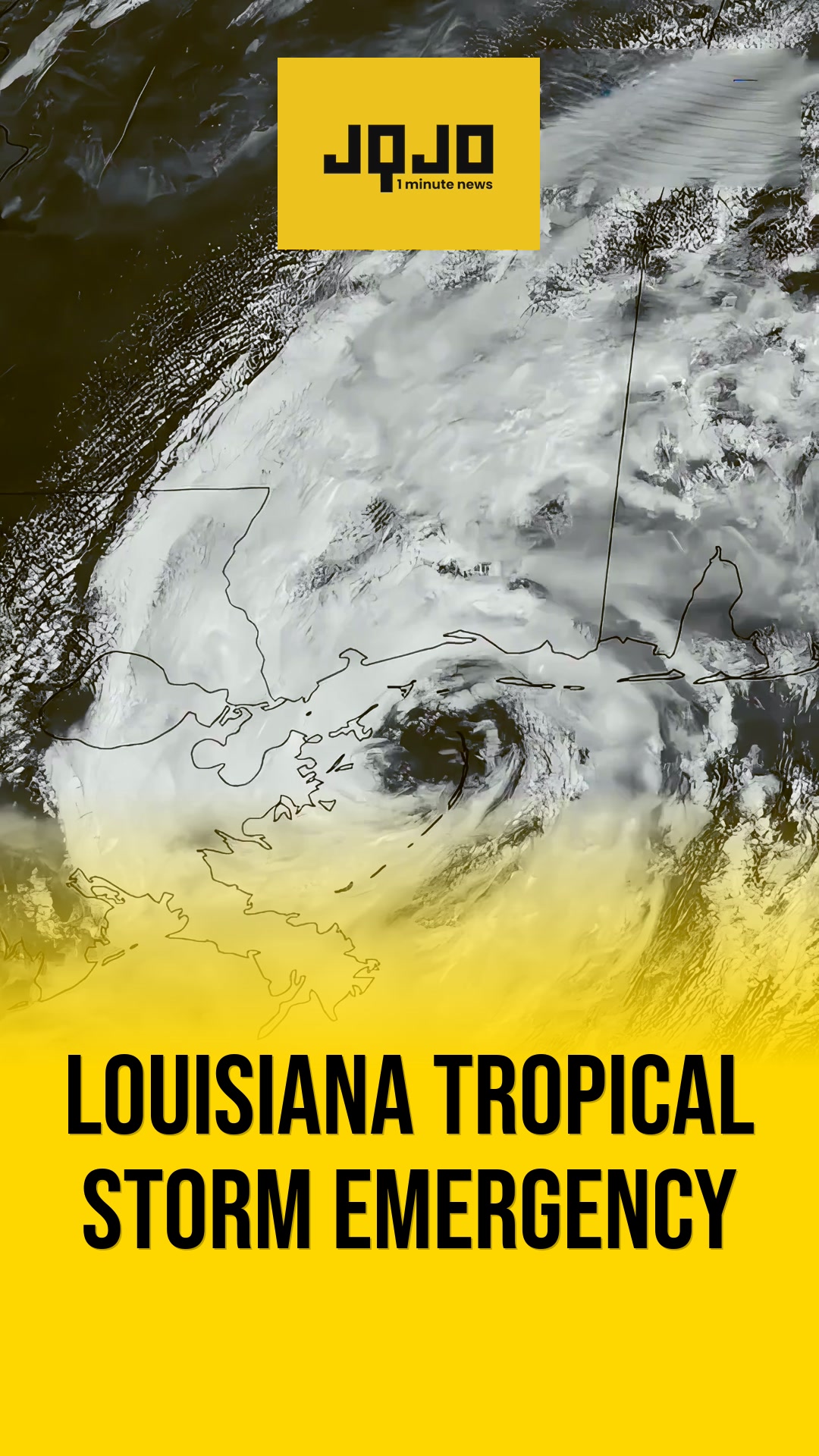
Baton Rouge: After overnight and early-morning downpours, local weather teams reported rain exiting Tuesday across the Gulf Coast and parts of the Midwest, with scattered showers persisting into the morning commute and skies clearing into the afternoon as high pressure builds and temperatures rise into the 70s and low 80s. Mobile and Pensacola communities recorded localized overnight totals of two to four inches, causing standing water and early road ponding; forecasts indicate a warming trend through the workweek with afternoon highs reaching the upper 80s in some areas, and rain chances diminishing midweek before increasing again late this weekend into next week.
Prepared by Olivia Bennett and reviewed by editorial team.
Timeline of Events
- Overnight: Heavy rain across parts of the Gulf Coast produced 2–4 inch totals in some communities.
- Early morning: Light to moderate rain continues through the morning commute with standing water observed on roads.
- Afternoon: High pressure builds, showers taper, and temperatures climb into the 70s–80s across affected regions.
- Midweek: Forecasts project lower rain chances and generally drier, warmer conditions.
- Late weekend/next week: Rain chances are expected to increase again according to model guidance and the Weather Prediction Center.
Why This Matters to You
The weather shift impacts your daily routine. Expect wet roads during your morning commute, but prepare for warmer afternoons. Check your local forecast before planning outdoor activities. Remember, standing water can hide road hazards.
The Bottom Line
The weather rollercoaster continues with heavy rain giving way to rising temperatures. While midweek promises drier, warmer conditions, keep an eye on forecasts for a potential return of rain late this weekend. Worth forwarding if you know someone planning outdoor activities this week.
- Articles Published:
- 6
- Right Leaning:
- 0
- Left Leaning:
- 0
- Neutral:
- 6
- Distribution:
- Left 0%, Center 100%, Right 0%
Local residents and municipal agencies benefited by receiving advance forecasts enabling travel adjustments and safety measures.
Commuters and communities in low-lying Gulf Coast areas suffered standing water, localized flooding, and travel delays.
Coverage of Story:
From Left
No left-leaning sources found for this story.
From Center
Rain Clearing, Heat Rising Across Gulf To Midwest
WAFB FOX10 News WDIV FOX Carolina WKMG WEWSFrom Right
No right-leaning sources found for this story.


Comments