Forecasters Warn Of Multi-Day Rain Across Southeast
Read, Watch or Listen
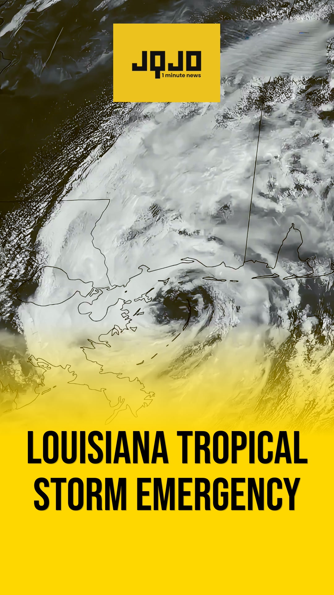
CHARLOTTE, N.C. — Regional meteorologists issued forecasts predicting rain across the Carolinas and parts of Mississippi beginning Wednesday, with light-to-moderate showers during the morning commute and potential scattered thunderstorms in the afternoon. Agencies cited an approaching cold front and low pressure; initial rounds should ease Thursday, followed by renewed, heavier rainfall later in the week. Charlotte-area and coastal officials warned commuters of slick roads during Wednesday's peak travel periods and advised monitoring forecasts for localized flooding. WIS and WCBI declared First Alert Weather Days for Wednesday and Saturday respectively, and model guidance suggests some locations could receive over an inch by Saturday; forecasters said drying is expected by Sunday, restoring drier conditions.
Prepared by Olivia Bennett and reviewed by editorial team.
Timeline of Events
- Cold front approaches the Southeast, triggering forecasts and alerts ahead of Wednesday.
- Wednesday morning features widespread showers during the commute; afternoon clearing possible with conditional storms.
- Thursday and parts of Friday offer cooler, drier windows in some areas.
- A stronger low-pressure system brings heavier, more widespread rain Friday–Saturday; some spots could exceed an inch.
- Rain tapers Saturday night and drying continues into Sunday with cooler temperatures.
Why This Matters to You
This multi-day rain could disrupt your daily routines, especially morning commutes. It might also cause localized flooding. Keep an eye on the weather forecasts and plan your travel accordingly. If you live in a flood-prone area, make sure your home is prepared.
The Bottom Line
Safety first. Wet roads and potential flooding are serious hazards. Stay updated with local weather alerts and adjust your plans if needed. Remember, it's better to arrive late than not at all. Worth forwarding if you know someone who'll be on the road this week.
- Articles Published:
- 11
- Right Leaning:
- 0
- Left Leaning:
- 0
- Neutral:
- 11
- Distribution:
- Left 0%, Center 100%, Right 0%
Agricultural producers, lawns, reservoirs, and drought-mitigation efforts in affected Southeast regions benefited from renewed rainfall that helped address short-term dry conditions.
Commuters, outdoor event organizers, and residents in poor-drainage areas suffered travel disruptions, localized flooding risk, and inconveniences during peak rain periods this week.
Coverage of Story:
From Left
No left-leaning sources found for this story.
From Center
Forecasters Warn Of Multi-Day Rain Across Southeast
https://www.wbtv.com WMBF News https://www.wistv.com WCBI TV | Your News Leader WKMG https://www.wrdw.com WMBF News https://www.wistv.com WAFB News 4 Jax https://www.kcbd.comFrom Right
No right-leaning sources found for this story.


Comments