Multi-state severe storm threat begins Monday into midweek
Tap title to read story
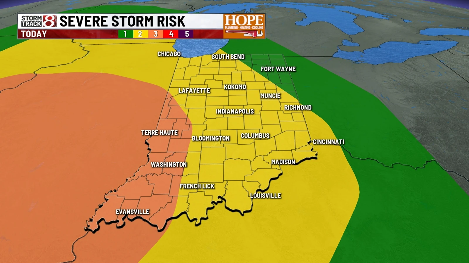
Indianapolis — Multiple rounds of thunderstorms are expected across Central Indiana and neighboring regions beginning Monday, Apr. 27, 2026, with forecasters warning that some storms could become severe. Local stations described an initial cluster possibly moving in late morning or early afternoon, followed by the potential for intensified development later in the day and evening.
Across the Midwest and Upper South this week, the Storm Prediction Center identified Level 2 and Level 1 risk areas, with ABC7 noting Chicago’s windows from 9 a.m. to noon and 4–11 p.m., WVLT highlighting a Tuesday 2AM–10AM marginal risk, and local outlets advising preparedness for damaging winds, hail, and isolated tornadoes as storms shift east overnight.
More context
Timeline
- 1. Weekend: Rain delivered partial drought relief in East Tennessee, reducing large deficits.
- 2. Monday morning–afternoon: Clusters of showers and isolated storms develop across Midwest regions including Indiana and Illinois.
- 3. Monday evening–overnight: A more organized line of strong-to-severe storms tracks eastward into Kentucky and central areas.
- 4. Early Tuesday: SPC marginal-risk area in parts of East Tennessee expected between 2AM and 10AM with potential severe storms.
- 5. Wednesday: Additional spotty rain and cooler temperatures arrive, ending the active stretch.
Why it matters
These storms could disrupt your daily routines. They might cause power outages, traffic delays, and school closures. If you're in the risk areas, prepare for possible severe weather. Check your emergency supplies and make sure your devices are charged.
Sources
JQJO Editorial Desk · Human reviewed · AI assisted. Report a correction.