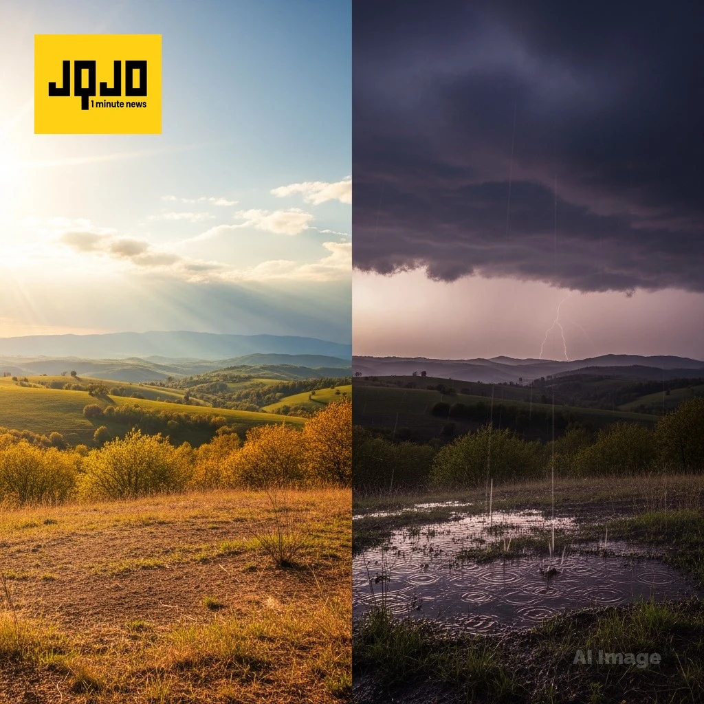
Warm spell gives way to weekend rain across regions
Tap title to read story
United States regions from the Southeast to the Southwest reported warm, dry conditions Thursday and Friday before model guidance indicated a change. Forecasters documented highs in the mid 70s to low 80s across multiple areas, noted smoke from Georgia wildfires prompting a Code Orange air quality alert in parts of South Carolina, and cautioned about elevated fire danger.
Greenville and other affected localities can expect scattered showers and thunderstorms beginning Saturday as low pressure develops near the coast and a Pacific front moves into Arizona this weekend. Temperatures are forecast to fall into the 60s in some areas over the weekend, officials advised that burn bans and ozone action days may remain in effect while winds increase in high country regions.
More context
Timeline
- 1. Warm, dry conditions and above-average temperatures persisted early in the week across multiple regions.
- 2. Smoke from Georgia wildfires moved into the Upstate, prompting a Code Orange air quality alert and ozone action day.
- 3. Humidity and moisture began increasing late week, signaling a pattern change by Friday.
- 4. Forecast models indicated developing low pressure and a Pacific front bringing rain and gusty winds Saturday into the weekend.
- 5. Cooler, drier air was expected to filter in Sunday into early next week with improving conditions.
Why it matters
The shift in weather patterns impacts your health and safety. Smoke from wildfires can cause respiratory issues, especially for the elderly and young children. Check local air quality reports before heading outdoors. If you're in a high fire risk area, review your evacuation plan.
Sources
JQJO Editorial Desk · Human reviewed · AI assisted. Report a correction.