Regional forecasts warn of frost, fire risk, and storms
Tap title to read story
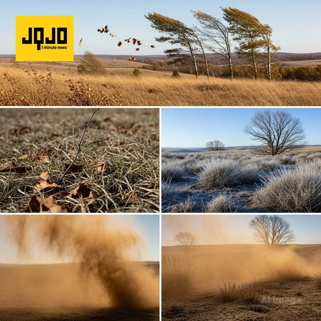
Richmond, Va. meteorologists with 12 On Your Side issued Monday and Tuesday forecasts this week reporting a cool, breezy start with frosty nights, high gusts and significantly dry fuels that elevate brush-fire danger across parts of central Virginia; forecasters also predicted a midweek warmup into the 70s and 80s and scattered shower chances by Wednesday and the weekend.
Atlanta broadcasters warned of low afternoon humidity and ongoing drought through Friday that increases fire risk, while Atlanta News First and WSMV in Nashville noted a return to unsettled weather Saturday and a monitored, potential severe-storm threat for Middle Tennessee next Monday; officials advised following frost advisories, burn bans and staying tuned to updates from local weather teams.
More context
Timeline
- 1. Persistent drought and dry fuels present across affected regions.
- 2. Meteorologists issue frost advisories and freeze warnings for viewing areas.
- 3. Forecasts show midweek warming with highs reaching 80s in places.
- 4. Rain and thunderstorms expected Saturday across northwest Georgia, spreading regionally.
- 5. WSMV flags a possible severe-storm threat for Middle Tennessee next Monday.
Why it matters
Frosty nights and fire risks are a real concern for your safety and property. Dry conditions and high winds can quickly turn a small spark into a wildfire. Frost can damage your garden and outdoor pipes. Keep an eye on local weather updates and follow any advisories.
Sources
JQJO Editorial Desk · Human reviewed · AI assisted. Report a correction.