تحذير من خطر الحريق وارتفاع درجات الحرارة قبل هطول أمطار نهاية الأسبوع
Read, Watch or Listen
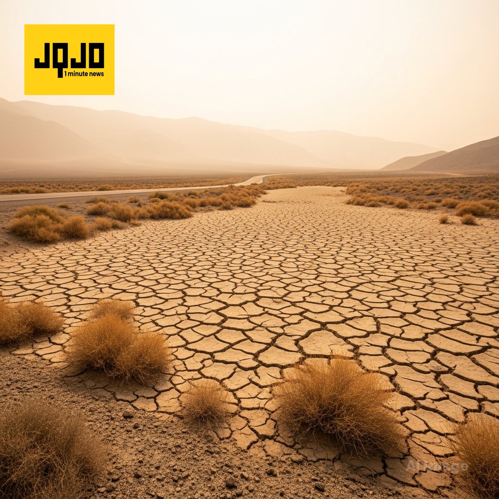
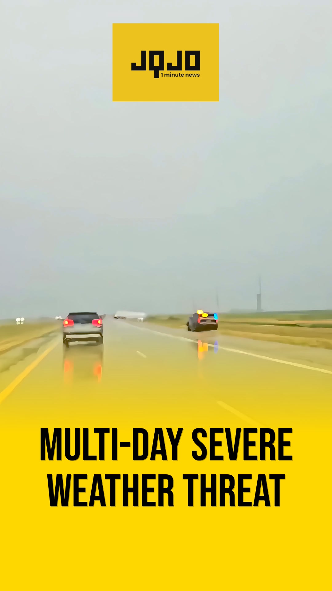
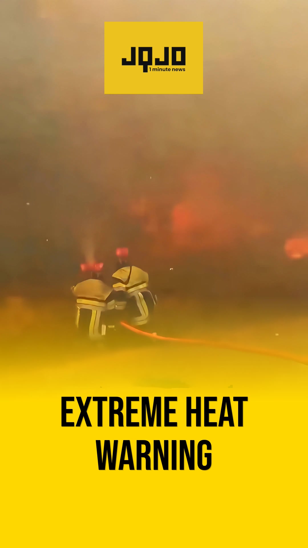
برمنغهام — أفادت مكاتب الأرصاد الجوية المحلية عن اتجاه تدفئة في منتصف الأسبوع مع درجات حرارة منخفضة في الصباح الباكر في الأربعينات ودرجات حرارة مرتفعة في النهار تصل إلى السبعينات وأوائل الثمانينات حتى يوم الخميس؛ ومن المتوقع أن تستمر الظروف الجافة حتى يوم الجمعة قبل أن يؤدي اقتراب جبهة باردة في وقت متأخر من يوم الجمعة إلى زيادة احتمالات هطول الأمطار في جميع أنحاء الجنوب الشرقي في نهاية هذا الأسبوع. حذر خبراء الأرصاد الجوية من خطر حريق مرتفع حتى يوم الجمعة بسبب انخفاض الرطوبة والنباتات المجهدة، ثم توقعوا زخات وعواصف رعدية متفرقة يومي السبت والأحد مع توقع هطول أمطار محلية تتراوح بين بوصة واحدة وثلاث بوصات في بعض المناطق؛ ونصح المسؤولون السكان ومنظمي الفعاليات بمتابعة التحديثات للتأثيرات المحتملة، بما في ذلك اضطرابات محتملة في سباق تالاديجا.
Prepared by Olivia Bennett and reviewed by editorial team.
Timeline of Events
- في بداية الأسبوع، تكون الصباحات في الأربعينات المنخفضة إلى المتوسطة مع خطر الصقيع المتقطع في بعض الأماكن.
- ترتفع درجات الحرارة إلى السبعينات والثمانينات خلال منتصف الأسبوع وسط ظروف جافة بشكل عام.
- يثير الامتداد الجاف مخاطر الحريق المرتفعة وتذكيرات بتجنب الحرق في الهواء الطلق حتى يوم الجمعة.
- يقترب جبهة باردة في وقت متأخر من يوم الجمعة إلى يوم السبت، مما يزيد من الرطوبة وعدم الاستقرار.
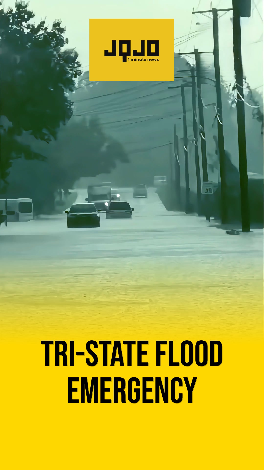
- توقع زخات متفرقة وعواصف رعدية يومي السبت والأحد مع احتمالية هطول 1-3 بوصات في بعض المناطق.
News Intelligence
قد يؤثر هذا التغير في الطقس على خطط عطلتك. هناك خطر نشوب حرائق حتى يوم الجمعة، لذا تجنب إشعال النيران في الخارج. بعد ذلك، استعد لاحتمالية تعطيل الأمطار لفعاليات مثل سباق تالاديغا. ترقب تحديثات الطقس المحلية.
- Articles Published:
- 4
- Right Leaning:
- 0
- Left Leaning:
- 0
- Neutral:
- 4
- Distribution:
- Left 0%, Center 100%, Right 0%
قد يفيد المطر والعواصف التي ستشهدها نهاية الأسبوع الزراعة التي تعاني من الجفاف وموارد المياه، حيث ستتساقط ما يقدر بنحو 1-3 بوصات من الأمطار في بعض المناطق.
يستمر خطر الحريق المرتفع والظروف الجافة المستمرة في تهديد السكان والعاملين في الهواء الطلق ومنظمي الفعاليات، بينما قد تتسبب عواصف نهاية الأسبوع في تعطيل الخطط والفعاليات الخارجية مثل سباق تالاديجا.
Coverage of Story:
From Left
No left-leaning sources found for this story.
From Center
تحذير من خطر الحريق وارتفاع درجات الحرارة قبل هطول أمطار نهاية الأسبوع
https://www.wbrc.com https://www.atlantanewsfirst.com FOX Carolina https://www.wbrc.comFrom Right
No right-leaning sources found for this story.

Comments