Une crête de haute pression apportera une chaleur de fin d'été et un risque d'incendie accru avant le passage d'un front froid
Read, Watch or Listen
ATLANTA, Géorgie. — Une forte crête de haute pression s'étendant depuis le Golfe maintiendra Atlanta et une grande partie de la Géorgie très chaudes et sèches aujourd'hui, avec un ciel majoritairement dégagé, des vents du sud-ouest frais et des températures passant de la soixantaine ce matin à la fin des 80 jusqu'au début des 90 cet après-midi. La chaleur pourrait battre des records quotidiens dans certains endroits. La faible humidité, les vents forts et la végétation sèche sont les principales préoccupations pour quiconque a des projets en extérieur. Tard ce soir, un front froid traversant la vallée du Tennessee vers le nord-ouest de la Géorgie devrait apporter une ligne organisée d'averses et possiblement un ou deux orages isolés, mais les quantités de pluie seront probablement limitées et la ligne devrait s'affaiblir vers le lever du soleil. Après le passage du front, une masse d'air beaucoup plus fraîche et plus sèche s'installera sur la région, produisant un changement spectaculaire par rapport à la chaleur de samedi. L'après-midi de dimanche sera venteux avec des vents du nord-ouest d'environ 16 à 24 km/h et des rafales jusqu'à 40 km/h, et une très faible humidité relative créera des préoccupations de temps propice aux incendies ; un avertissement de drapeau rouge pourrait être nécessaire dans certaines régions. Dimanche soir, les températures chuteront dans les basses à moyennes 40 à l'intérieur des terres. La haute pression s'installera en début de semaine prochaine, maintenant des conditions sèches et tempérées avec un danger d'incendie continu et des chances limitées de pluie bénéfique au cours des sept prochains jours, les températures ayant tendance à remonter au-dessus de la normale en milieu et fin de semaine.
Prepared by Emily Rhodes and reviewed by editorial team.
Timeline of Events
- La haute pression et la dorsale du golfe apportent une chaleur record et des conditions sèches dans le Sud-Est (samedi).
- Les brises du sud-ouest et une faible humidité persistent jusqu'à samedi après-midi avec un risque d'incendie accru.
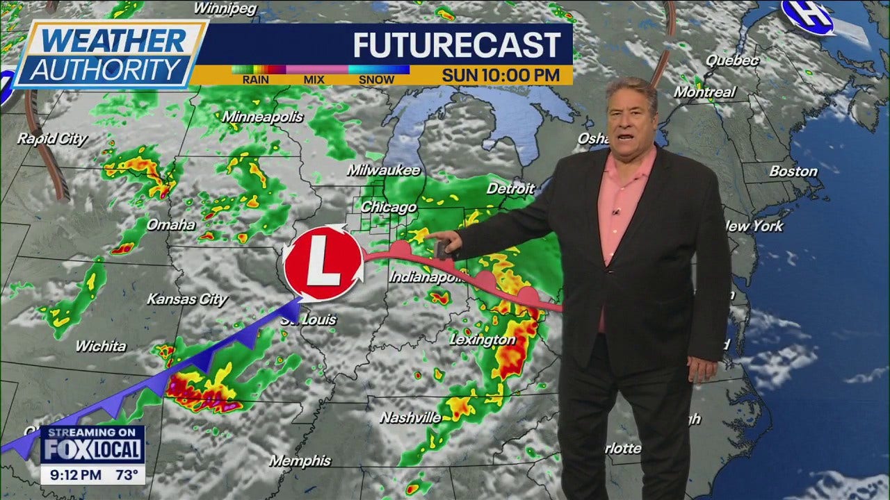
- Un front froid progresse tard samedi soir et tôt dimanche, produisant des averses organisées et des orages isolés.
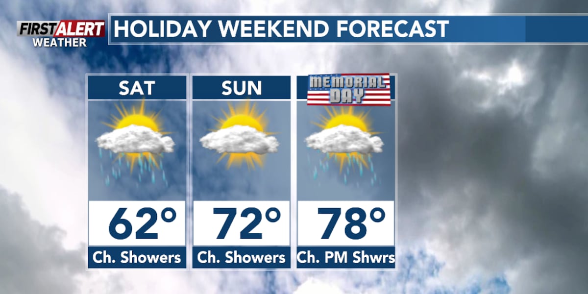
- Les pluies se terminent dimanche matin ; les températures chutent brutalement avec des vents du nord/nord-est et une brise dimanche et lundi.
- Un air plus frais et sec et des vents côtiers forts continuent lundi-mardi avant que le réchauffement ne reprenne progressivement en milieu de semaine.
Why This Matters to You
Ce changement de temps impacte vos projets de week-end. Si vous êtes à l'extérieur, soyez conscient du risque d'incendie dû à la faible humidité et aux vents violents. La chute soudaine de température pourrait affecter votre santé, surtout si vous êtes sensible au froid. Vérifiez que votre système de chauffage fonctionne correctement.
The Bottom Line
Le temps change rapidement, passant de chaleurs records à un front froid. Préparez-vous à des averses, de possibles orages et une baisse significative de la température. Gardez un œil sur les avertissements de drapeaux rouges. Cela vaut la peine de partager si vous connaissez quelqu'un qui prévoit des activités de plein air ce week-end.
- Articles Published:
- 4
- Right Leaning:
- 0
- Left Leaning:
- 0
- Neutral:
- 4
- Distribution:
- Left 0%, Center 100%, Right 0%
Les responsables des interventions d'urgence, les autorités des ports côtiers et les entreprises sensibles à la météo ont bénéficié de prévisions et d'une planification avancées qui permettent de se préparer aux vents violents, aux averses localisées et aux conditions plus froides.
Les organisateurs d'événements en plein air, les plaisanciers récréatifs et les communautés touchées par la sécheresse ont continué à être exposés à des risques météorologiques liés aux incendies et n'ont reçu que des précipitations limitées, certaines régions n'étant toujours pas susceptibles de connaître un allègement significatif de la sécheresse.
Coverage of Story:
From Left
No left-leaning sources found for this story.
From Center
Une crête de haute pression apportera une chaleur de fin d'été et un risque d'incendie accru avant le passage d'un front froid
https://www.atlantanewsfirst.com https://www.wbtv.com https://www.wbrc.com WPTVFrom Right
No right-leaning sources found for this story.


Comments