Warm Days Then Midweek Front Brings Storms, Cooling
Tap title to read story
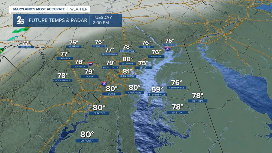
United States — Meteorologists reported warm, dry conditions across multiple regions Tuesday and Wednesday, followed by a potent cold front expected to bring showers and thunderstorms midweek. Forecasts warned of isolated severe storms Wednesday night into Thursday with threats of heavy rain and gusty winds, and a Level 2 slight risk in parts of East Tennessee. Temperatures will fall sharply after the front, with highs dropping from the 80s to the 50s and lows into the 30s in some areas. Some locales risked record highs midweek. Weekend recovery to milder conditions is likely. Based on 6 articles reviewed and supporting research.
More context
Timeline
- 1. Early week: warm, dry conditions with highs in the 70s–80s across affected regions.
- 2. Wednesday: temperatures peak; some areas near record highs ahead of the front.
- 3. Wednesday night: cold front moves in, producing showers and isolated/possible severe storms.
- 4. Thursday: storms continue into morning commute; temperatures tumble into 50s and 30s in places.
- 5. Weekend: high pressure returns, leading to drier skies and a gradual temperature rebound.
Why it matters
The midweek cold front could disrupt your plans. Expect possible delays during Thursday's commute due to heavy rain and gusty winds. If you're in East Tennessee, be aware of the Level 2 risk for severe storms.
Sources
JQJO Editorial Desk · Human reviewed · AI assisted. Report a correction.