Midwest Warmth Precedes Severe Storm Risk This Week
Read, Watch or Listen
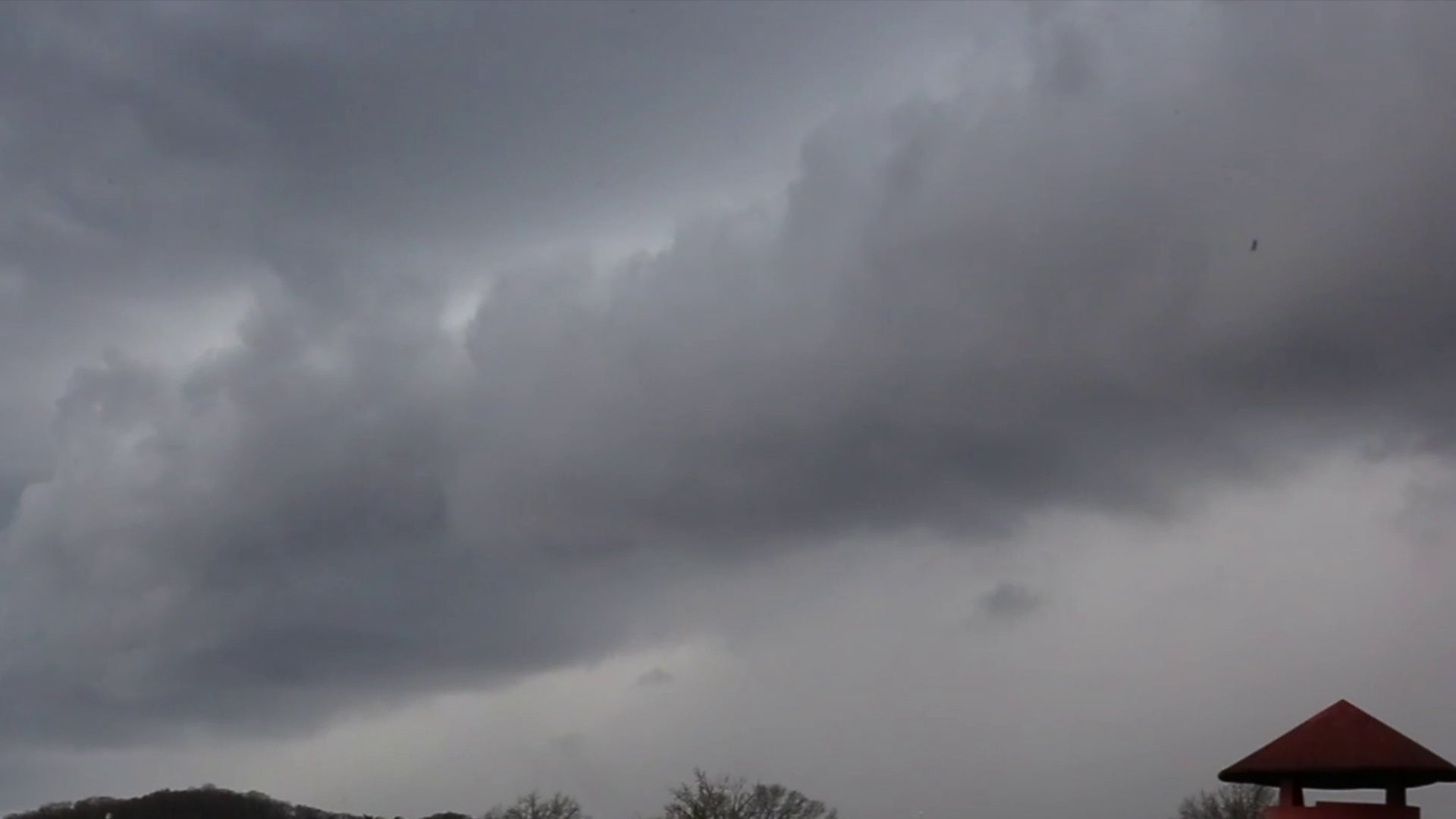
Indianapolis, local meteorologists reported that a fast-moving storm system produced unseasonably warm temperatures across the Midwest this week and prompted severe-weather outlooks for Thursday, Feb. 19, 2026. The Storm Prediction Center and regional forecasters placed parts of Indiana, Kentucky, Illinois and the Mid-Ohio Valley under marginal-to-slight risk levels, citing damaging winds, hail and isolated tornado potential. Some areas experienced spotty showers and gusty winds. Broadcasters reported highs near 70°F before a cold front reduced temperatures on Friday. Forecasts advised readiness for late-afternoon and evening storms while noting many areas would remain dry. Based on 6 articles reviewed and supporting research.
Prepared by Olivia Bennett and reviewed by editorial team.
Timeline of Events
- Mid-February 2026: Unseasonably warm air mass develops across the Plains and Midwest.
- Feb. 18, 2026: Local stations report highs near 70°F and gusty southwest winds.
- Feb. 18–19, 2026: SPC issues marginal-to-slight convective outlooks for Thursday.
- Feb. 19, 2026: Scattered showers and isolated severe storms occur in outlined counties.
- Feb. 20, 2026: Cold front passes; temperatures drop and wintry shower chances return.
Why This Matters to You
Weather changes can affect your daily routine. This storm brings a risk of damaging winds and hail. If you're in the Midwest, check your local forecast. Make sure your home and car are ready for possible severe weather.
The Bottom Line
Unusual warmth in the Midwest is preceding a storm risk. While many areas will stay dry, others could see severe weather. It's worth knowing, and worth forwarding if you have friends or family in the affected areas.
- Articles Published:
- 12
- Right Leaning:
- 0
- Left Leaning:
- 0
- Neutral:
- 12
- Distribution:
- Left 0%, Center 100%, Right 0%
Local residents and businesses briefly benefited from unseasonably warm mid-February temperatures before the arrival of storms.
Communities located within marginal-to-slight SPC risk zones faced threats of damaging winds, hail, and possible isolated tornadoes.
Coverage of Story:
From Left
No left-leaning sources found for this story.
From Center
Midwest Warmth Precedes Severe Storm Risk This Week
WISH-TV | Indianapolis News | Indiana Weather | Indiana Traffic https://www.wtap.com https://www.wkyt.com FOX 32 Chicago https://www.wtap.com WISH-TV | Indianapolis News | Indiana Weather | Indiana Traffic https://www.wtap.com WISH-TV | Indianapolis News | Indiana Weather | Indiana Traffic https://www.wkyt.com WCBI TV | Your News Leader WHAS 11 Louisville https://www.wdtv.comFrom Right
No right-leaning sources found for this story.


Comments