Western US Storm Brings Dangerous Winds, Fire Risk
Tap title to read story
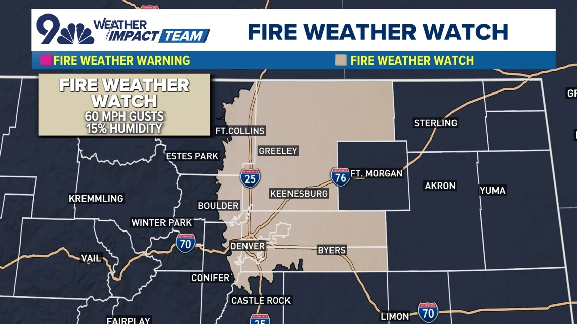
Denver and regional forecasters warn of strong winds and elevated fire danger Wednesday as a fast-moving Pacific storm sweeps the northern Rockies. National Weather Service offices have issued High Wind Warnings, Red Flag Warnings, and Blizzard Watches for portions of Colorado, Montana, Wyoming, North Dakota and Minnesota. Meteorologists predict gusts ranging from 40 to 90 mph, low humidity in the Front Range, and rain-to-snow transitions that may cause whiteouts and hazardous travel. Utilities warned of possible power outages and shutoffs. Authorities advised avoiding outdoor burning and delaying travel during peak wind periods. Based on 11 articles reviewed and supporting research.
More context
Timeline
- 1. NWS and local forecasters issued High Wind, Red Flag, and Blizzard watches ahead of the storm.
- 2. Tuesday night: Pacific system and atmospheric river pushed inland, producing warm, dry pre-frontal conditions and strong gusts along the Front Range.
- 3. Wednesday: Cold front passage generated peak gusts (40–90 mph) and rain-to-snow transitions, causing travel hazards and blizzard-like conditions in places.
- 4. Utilities warned of possible preemptive shutoffs and staged crews for outages during peak winds.
- 5. Thursday: Winds gradually declined, with ongoing assessments of damage, outages, and travel reopenings.
Sources
JQJO Editorial Desk · Human reviewed · AI assisted. Report a correction.