Regional Forecasts: Fog, Rain, Then Arctic Cold Arriving
PUBLISHED Dec 7, 2025, 4:41 AM ET
Read, Watch or Listen
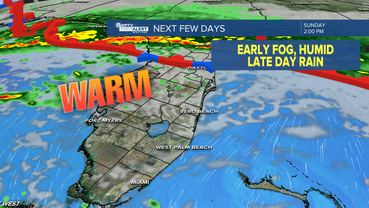
United States — Local forecasts report early-morning fog and freezing-fog advisories this weekend, followed by a cold front bringing showers and scattered light snow through Monday, then colder, drier air by Tuesday. Midweek warming briefly raises temperatures before an arctic surge late in the week brings single-digit lows and sub-zero wind chills. Meteorologists cite radar, model guidance and surface observations to time frontal passages, precipitation type and wind gust potential, warning of slick roads and localized snow accumulations. Officials urge caution for travel and outdoor exposure and advise monitoring local forecasts for updates. Based on 6 articles reviewed and supporting research.
By Shahbaz A. | JQJO News
Timeline of Events
- Early morning: Patchy to dense fog and freezing-fog advisories reduce visibility.
- Sunday night: Cold front approaches; rain and scattered showers increase.
- Monday: Showers and isolated light snow occur; cooler temperatures begin.
- Tuesday: Noticeably colder, drier air arrives; wind chills deepen.
- Late week: Arctic surge brings single-digit lows, gusty winds and sub-zero wind chills.
Coverage of Story:
From Left
No left-leaning sources found for this story.
From Center
Regional Forecasts: Fog, Rain, Then Arctic Cold Arriving
WPTV https://www.12onyourside.com WJLA https://www.wbrc.com https://www.25newsnow.com WJLA WJLA https://www.12onyourside.com WMBF News WKMGFrom Right
No right-leaning sources found for this story.







Comments