Arctic Front, Clippers Bring Cold And Snow Nationwide
Read, Watch or Listen
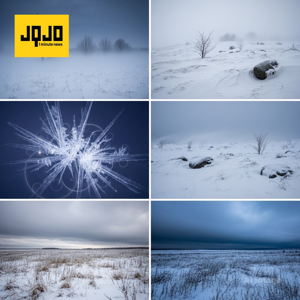
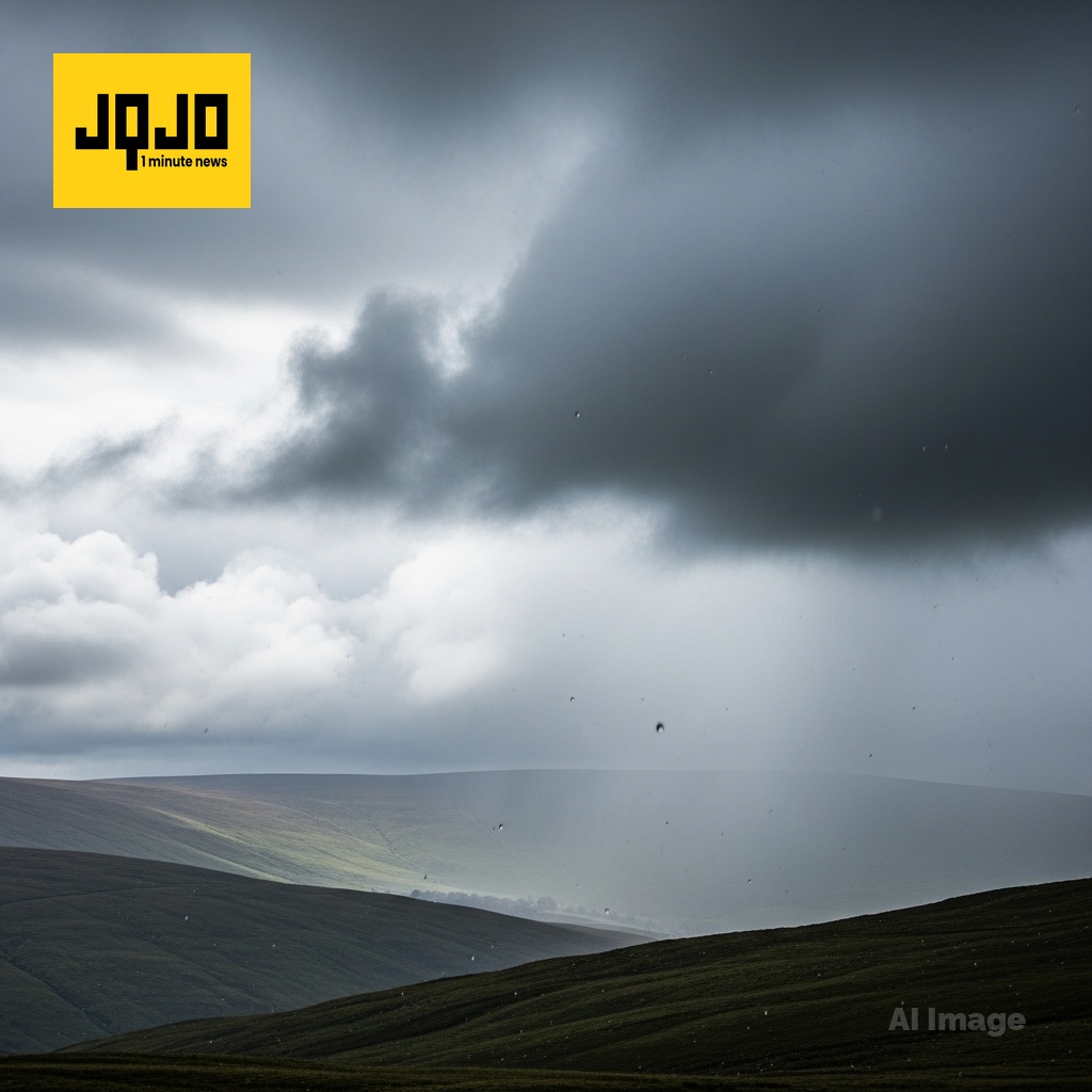
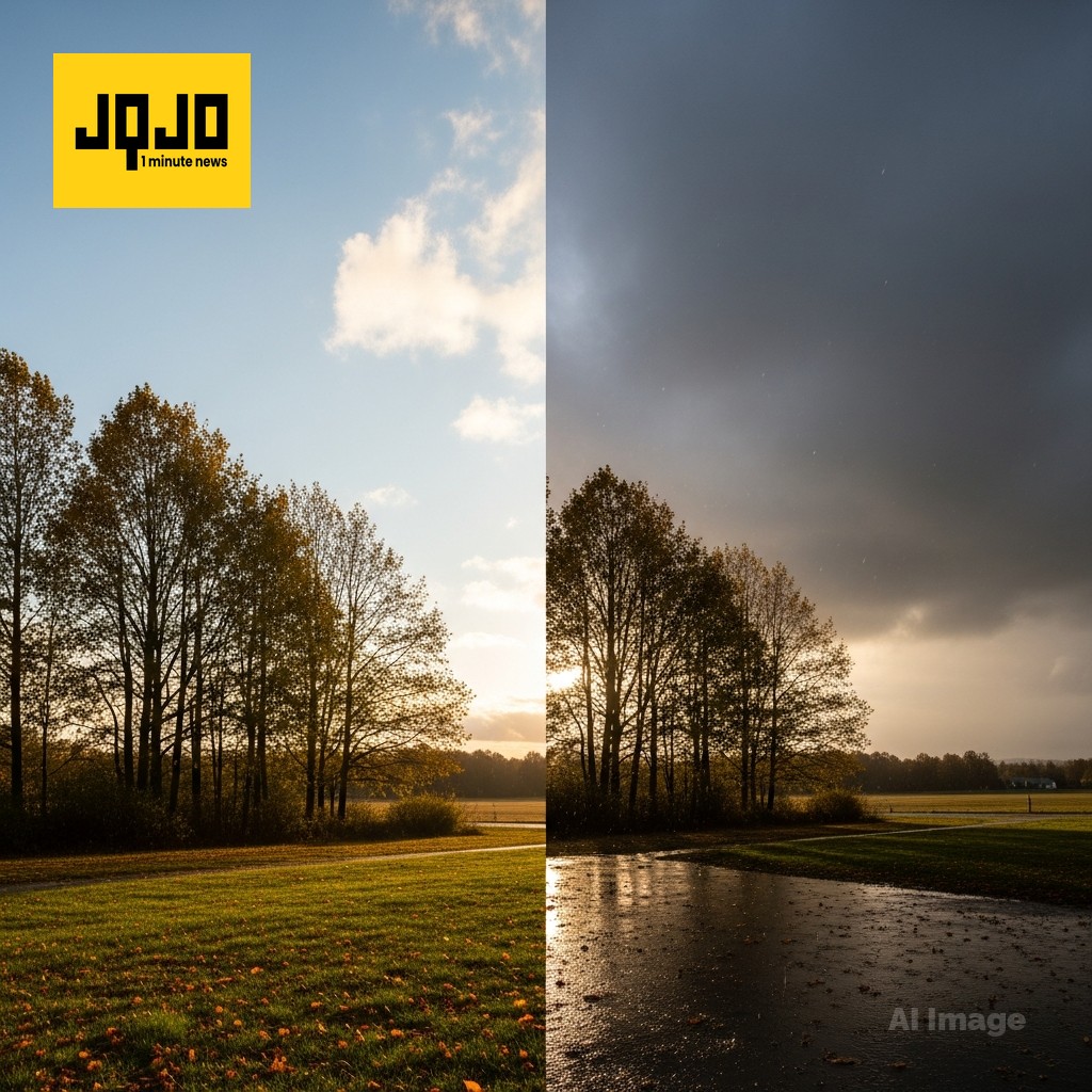
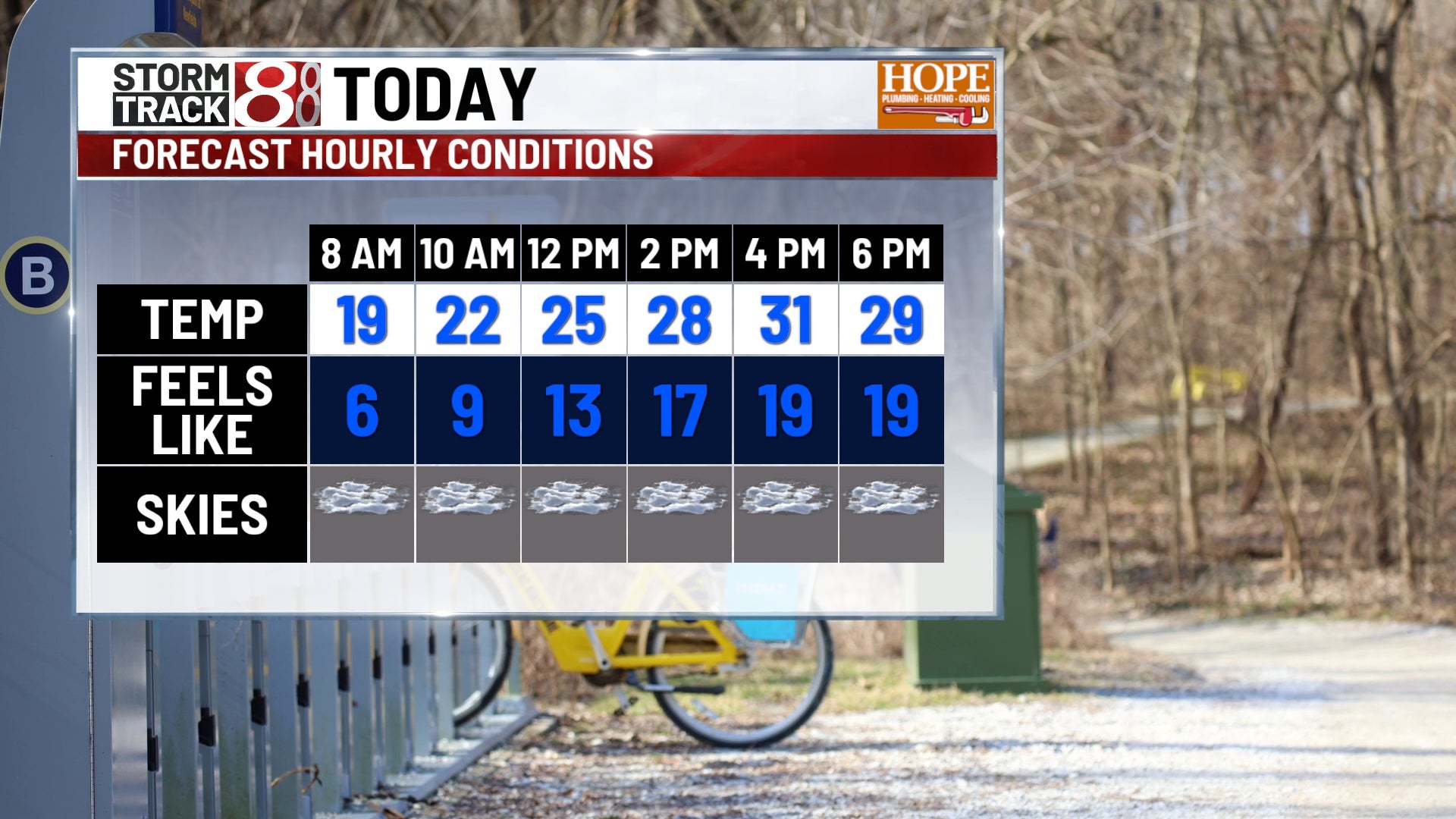
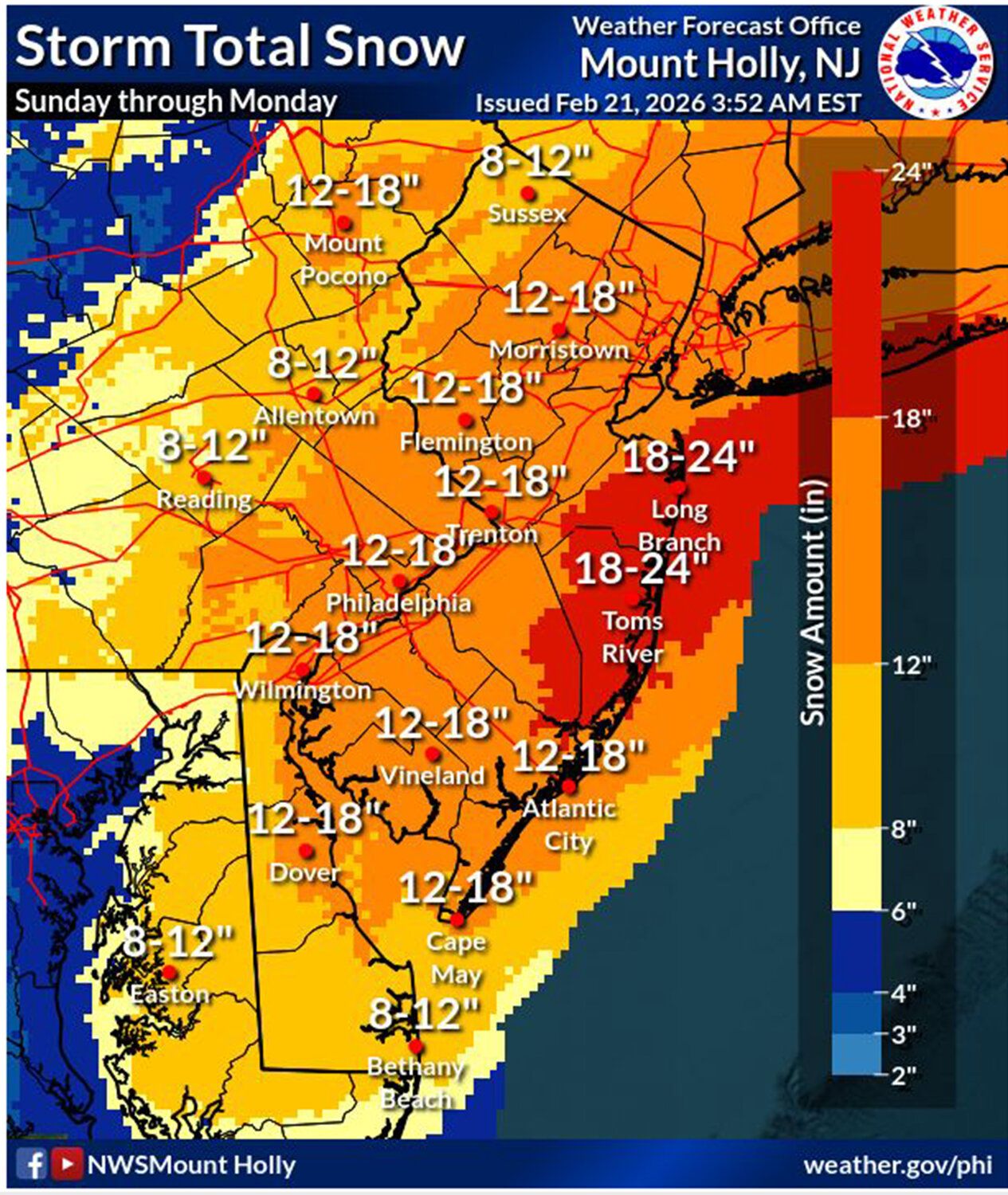
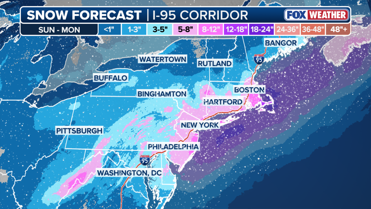
United States. Multiple regions nationwide experienced sharp temperature swings this week as an Arctic front delivered the coldest air of the season while successive clipper systems brought light snow across the Midwest and Great Lakes. Forecasters warned of wind chills near zero Thursday in Northeast Ohio and single-digit lows across parts of Indiana, Michigan, and Illinois. The Rockies face a major mountain storm with localized totals exceeding 18 to 24 inches, disrupting travel. Models indicate periodic light snow through next week and a brief warmup for parts of Wyoming early next week. Based on 11 articles reviewed and supporting research.
Prepared by Olivia Bennett and reviewed by editorial team.
Timeline of Events
- Warm autumn documented in parts of Illinois, among top 10 warmest on record (context).
- Arctic front moved across Northeast Ohio on Thursday, delivering season's coldest air.
- Friday–Sunday: successive clipper systems produced periodic light snow across the Midwest and Great Lakes.
- A major mountain winter storm began affecting the Rockies, with localized totals over 18 inches reported.
- Early next week models project a brief warm-up in parts of Wyoming while some regions monitor for midweek impactful snow.
- Articles Published:
- 11
- Right Leaning:
- 0
- Left Leaning:
- 0
- Neutral:
- 11
- Distribution:
- Left 0%, Center 100%, Right 0%
Local road crews, emergency responders, and winter-sport businesses benefited from increased demand for services, snow removal contracts, and recreational activity during cold and snowy conditions.
Commuters, outdoor workers, and travelers suffered from increased delays, hazardous travel conditions, and elevated exposure to extreme cold and wind-chill impacts.
Coverage of Story:
From Left
No left-leaning sources found for this story.
From Center
Arctic Front, Clippers Bring Cold And Snow Nationwide
Cleveland https://www.ksnblocal4.com FOX 32 Chicago https://www.wtap.com WISH-TV | Indianapolis News | Indiana Weather | Indiana Traffic https://www.wsaw.com WISH-TV | Indianapolis News | Indiana Weather | Indiana Traffic County 17 ArcaMax WDIV FOX31 Denver KDVRFrom Right
No right-leaning sources found for this story.
Comments